Go back to Pasayten Wilderness page.
Pain
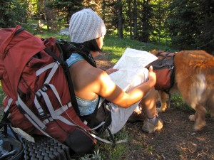
24 miles into the approach.
So back in August of 2010, the three of us had the crazy idea of trying to nail Pasayten Wilderness’ Cathedral Peak over a regular weekend from PDX. We chose the shorter of the 2 (US side) approach options reported to be about 21 miles. We had some route finding issues near the far end of the hike (USGS maps a bit outdated?) and, without a time cushion to sort things out, it turned into a lovely ~50 mile round trip (overnight) hike through a mostly burnt out forest scenery. We’ll probably come back for the classic route but it’ll take a few more years and this time we’ll go in via the standard approach.
Photos
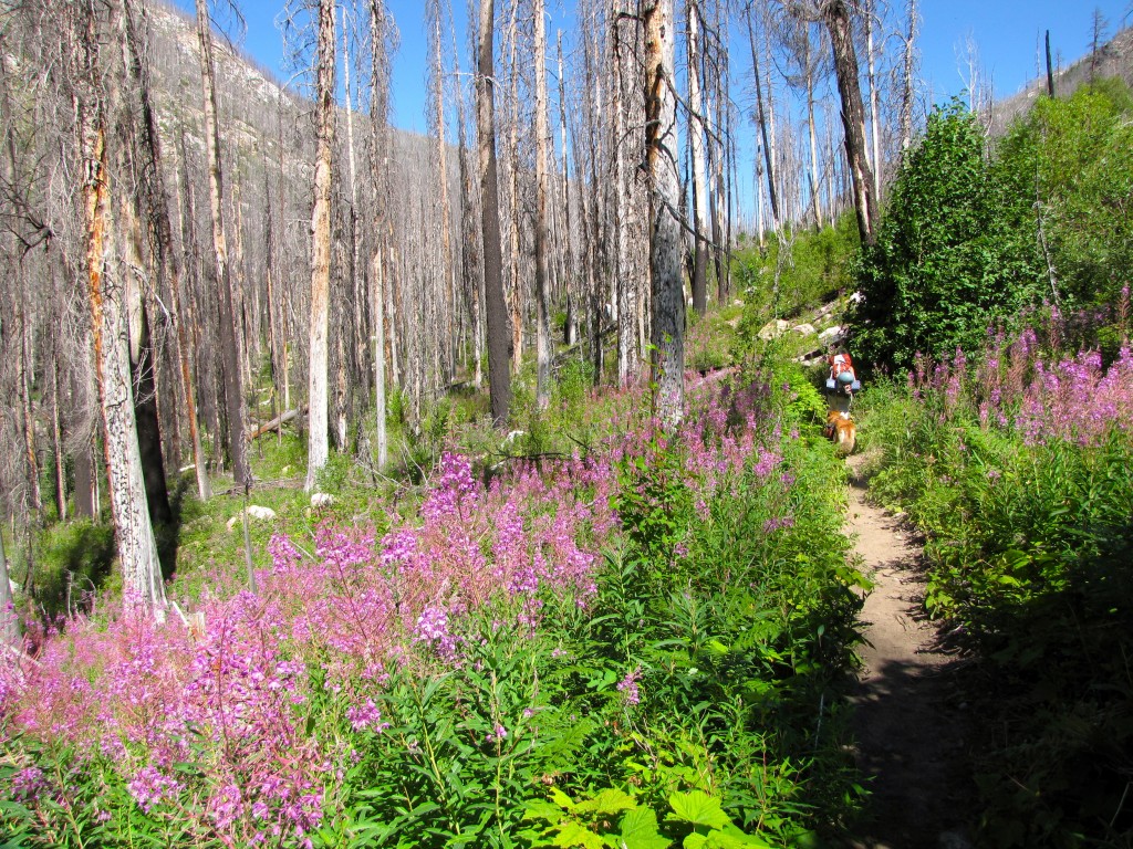
Shirley and Blondie in the opening miles of the 21+ miles approach to the Cathedral Peak in the Pasayten Wilderness (Aug. 2010).
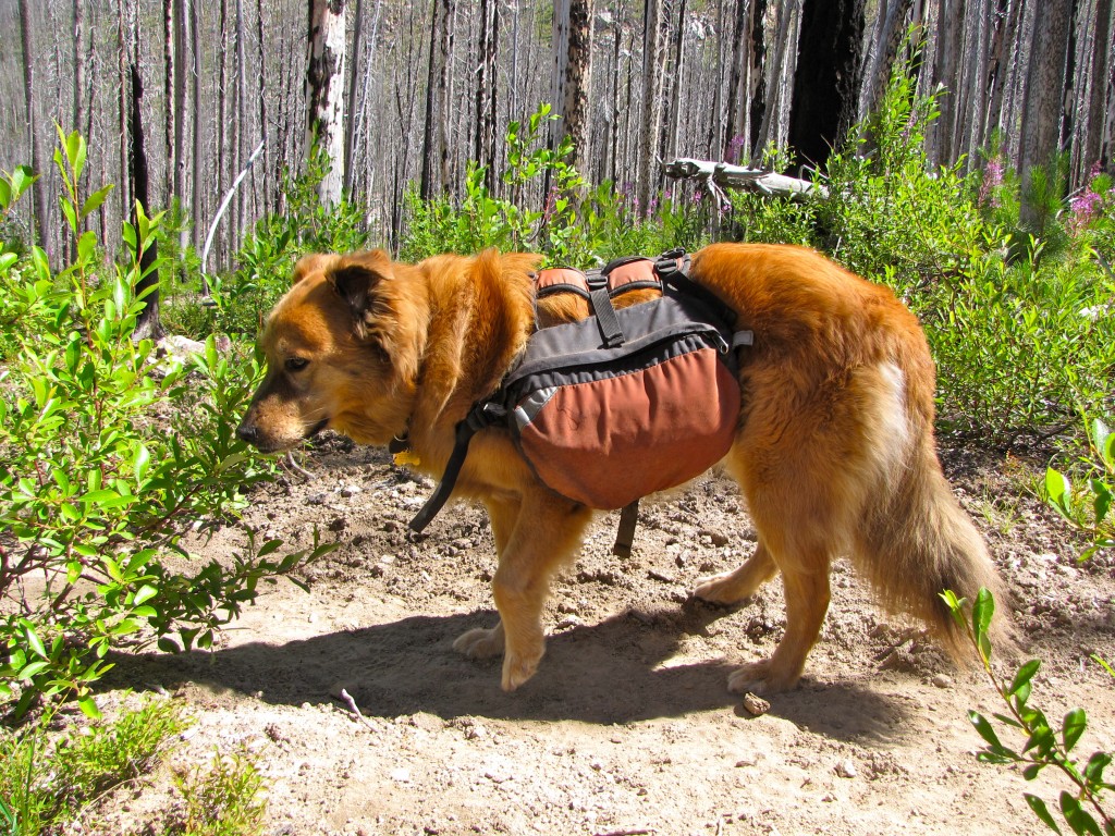
About a dozen miles into the 21+ mile approach (Aug. 2010).
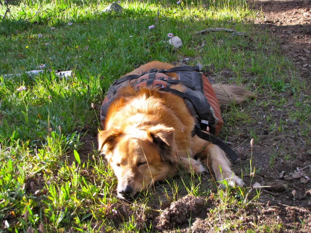
About 22 miles into the approach hike (Sept. 2012).
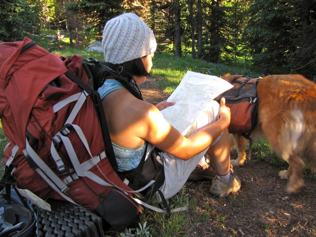
24 miles into the approach…USGS map out of date? What the fuck!
Go back to
Pasayten Wilderness page.


