Go back to Oregon Cascades.
Wy’East, Steel Cliff Gullies.
Photos
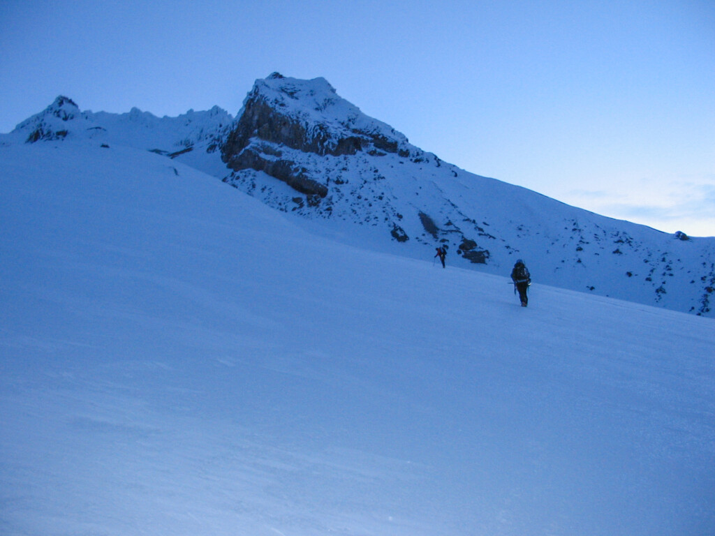
On the way up to the White River Glacier (May 2005).
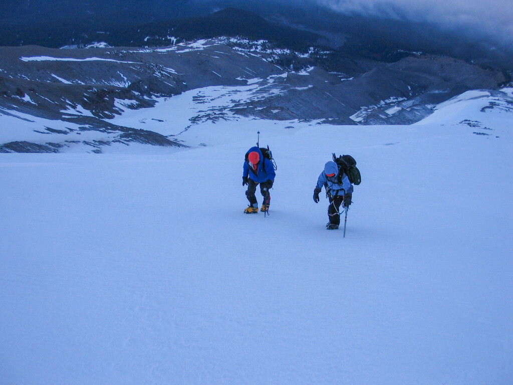
Shirley and Steve L. on the way up to the White River Glacier (May 2005).
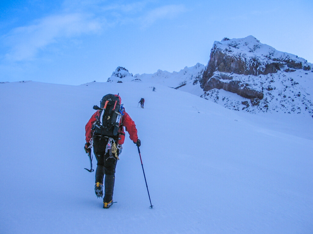
Our group leader, Jae (May 2005).
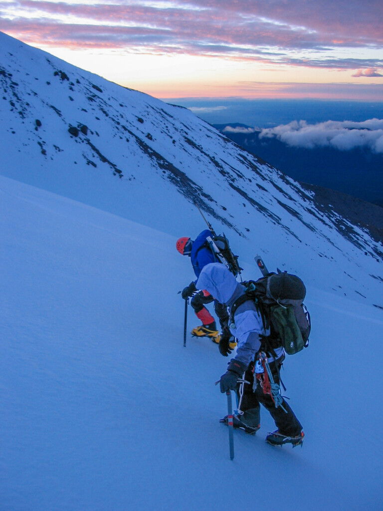
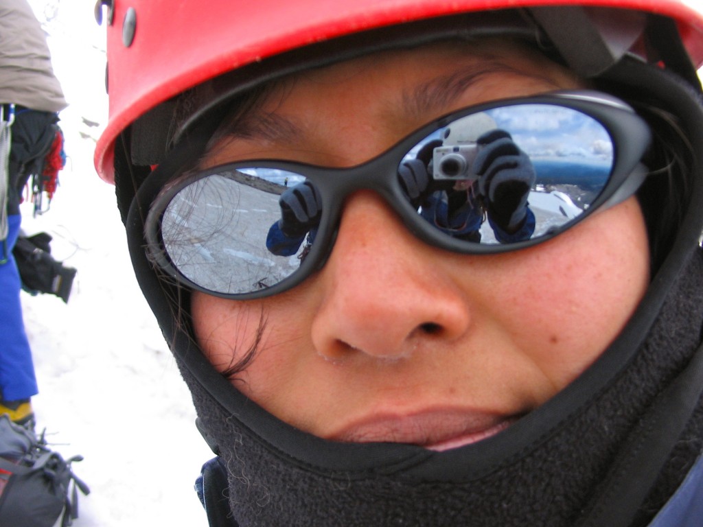
Shirley and sunrise (May 2005).
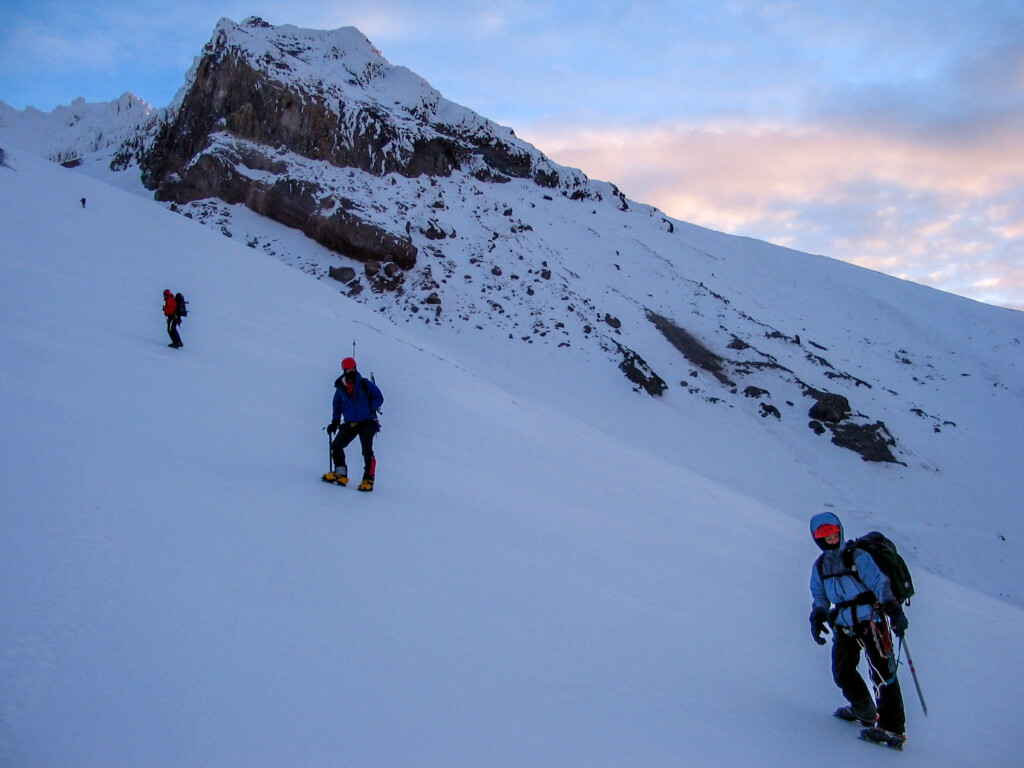
Shirley (right…daydreaming about warm sandstone climbing….as was I ? for that matter…the pain of hiking the ski slopes in the middle of the night ), Steve L., Jae E., and Mark M. on approach (skirting the west side of White River Glacier) to the base of Wy’East, Steel Cliff Gullies route (May 7, 2005).
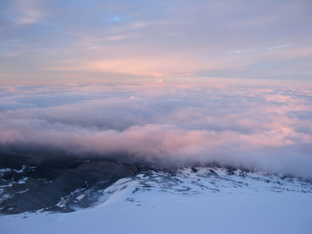
I think that’s Jefferson (May 2005).
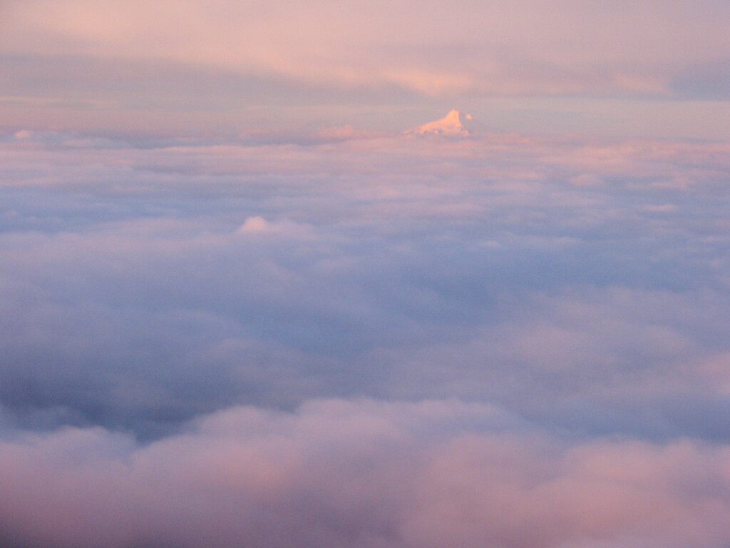
Mount Jefferson (May 2005).
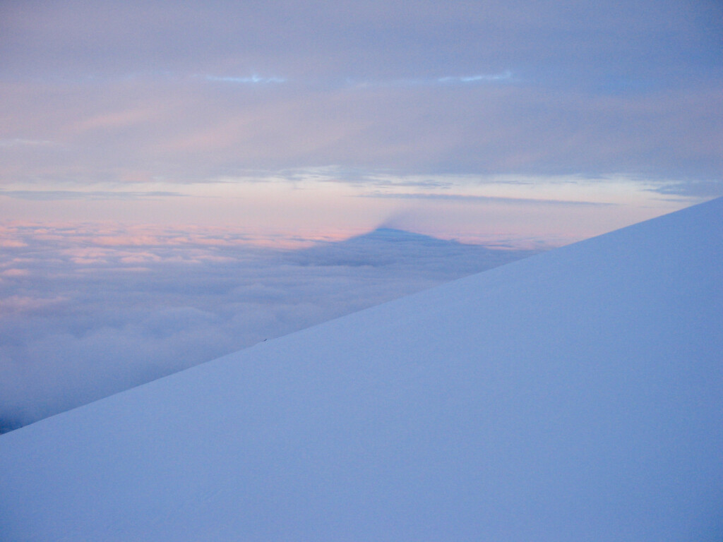
Shadow of Mount Hood (May 2005).
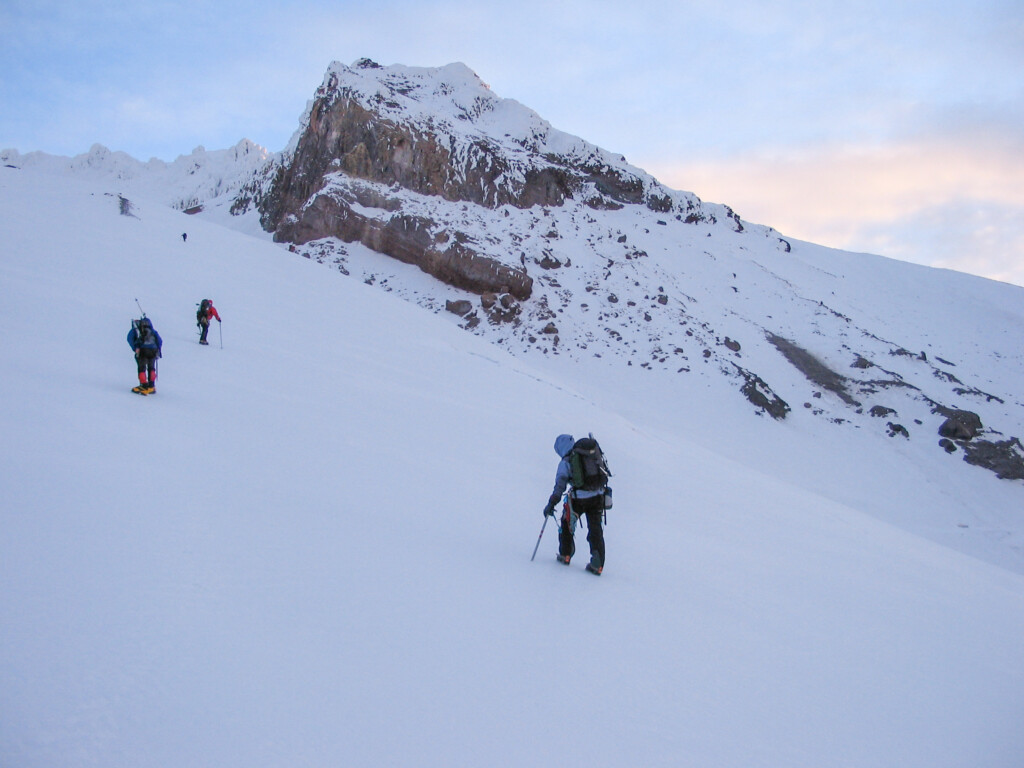
Shirley (right) and our teammates (May 2005).
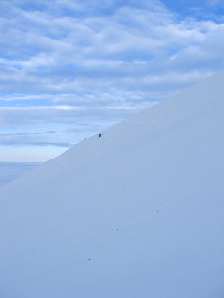
Shirley and Steve on the White River Glacier (May 2005).
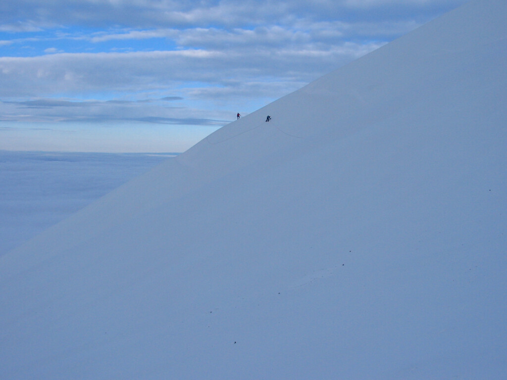
Another view (May 2005).
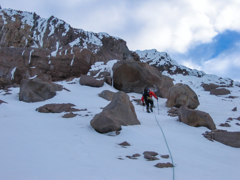
Jae (May 2005).
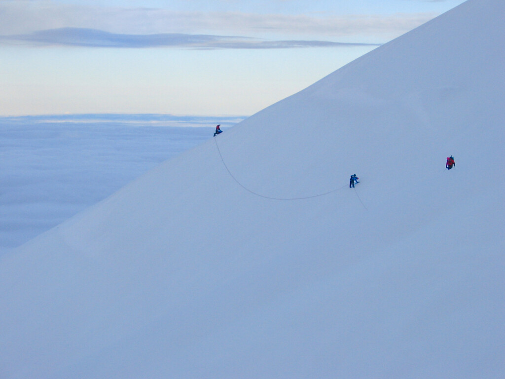
Mark M., Shirley, and Steve L. traversing somewhere high on White River Glacier (May 2005).
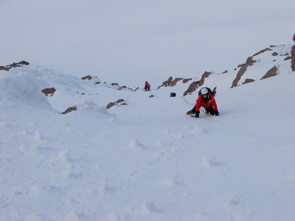
Mark M., Shirley, and Steve L. on the Wy’East route (May 2005).
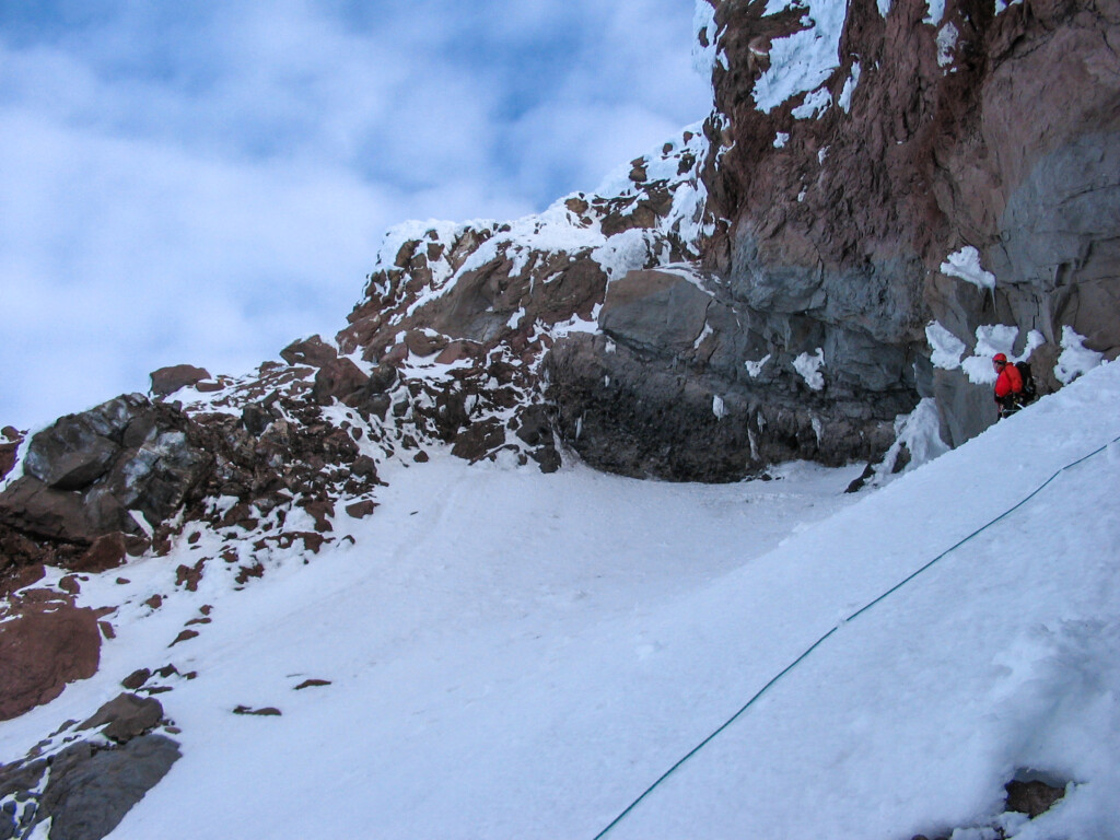
Jae (May 2005).
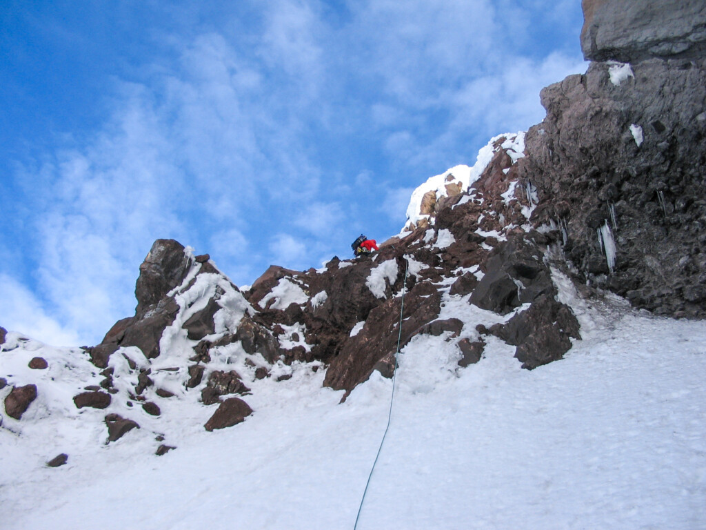
More of Jae (May 2005).
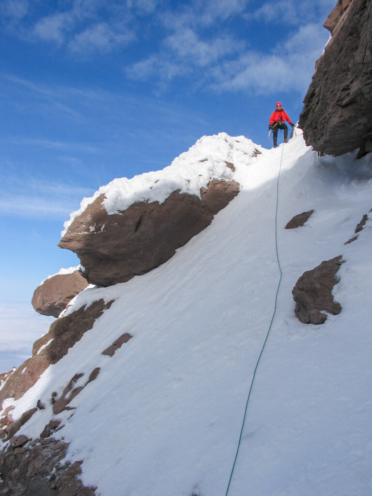
Jae E. atop a short (~40 foot) rock band/gully. Another 50-100 feet higher you reach the base of the ”ramp” leading to the top of the Steel Cliffs on the Wy’East, Steel Cliff Gullies route (May 7, 2005).
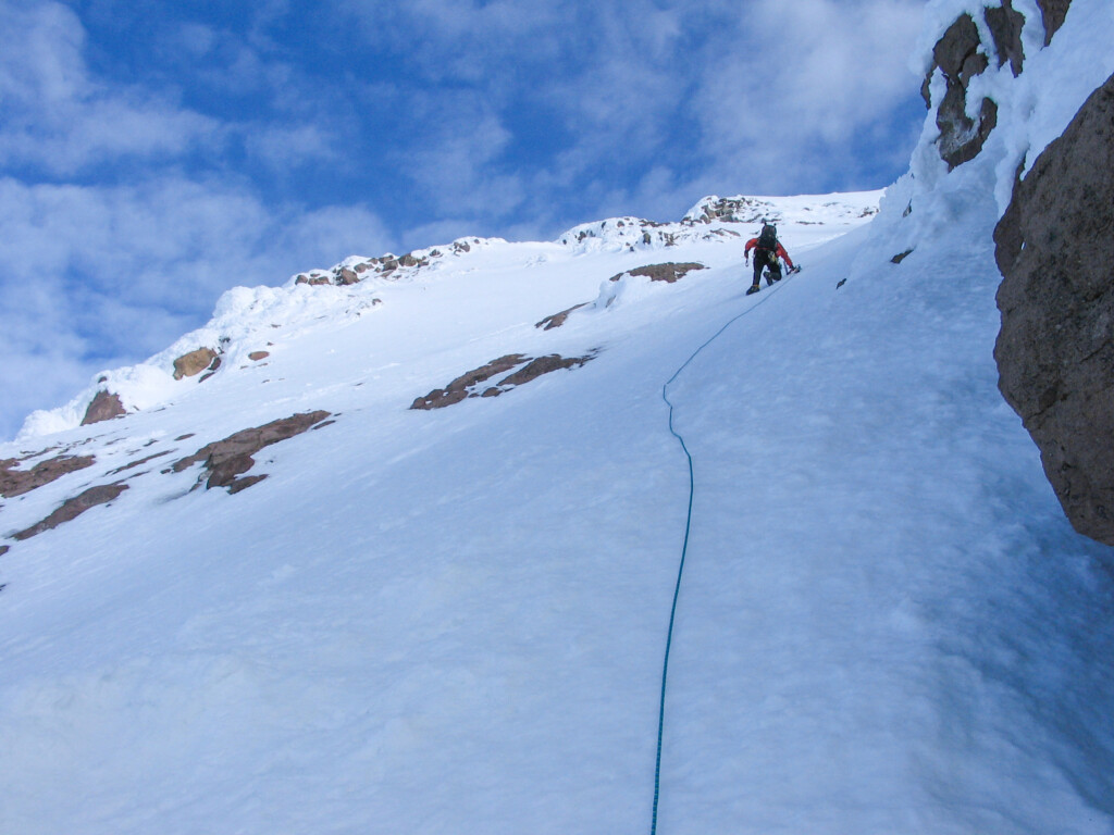
Jae E. leading the ~40-45 deg. (nice firm) snow section at the bottom of the ”ramp” atop the Steel Cliffs on the Wy’East, Steel Cliff Gullies (May 7, 2005).
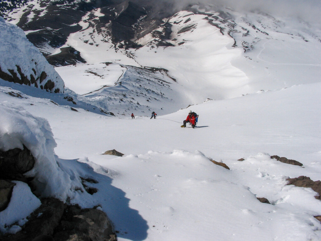
Mark M. (front), Shirley, and Steve L. nearing the top of the ”ramp” (atop Steel Cliffs) on the Wy’East, Steel Cliff Gullies route. Nice snow and a slope of about 40-45 degrees (?). Note the Palmer Ski lift in the upper right hand corner of photo (May 7, 2005).
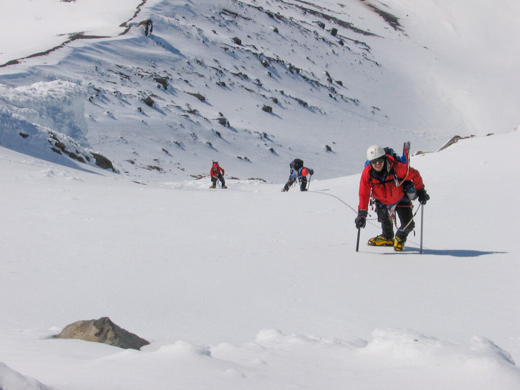
More of the same (May 2005).
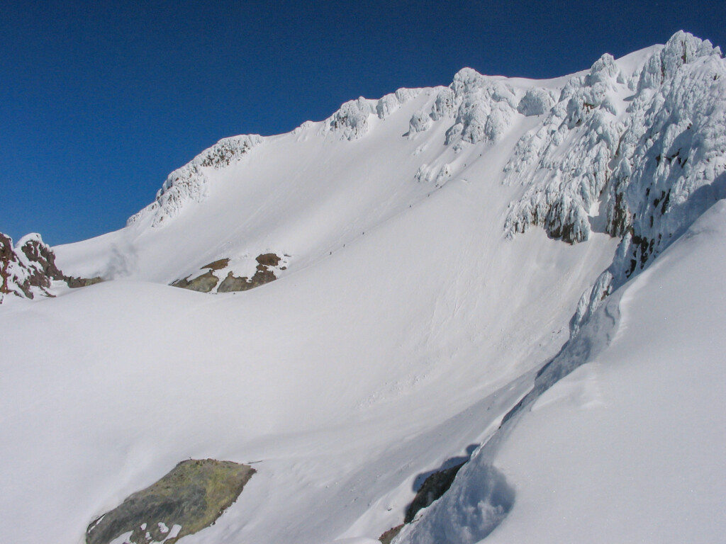
The lines on the Hogsback with the summit of Hood visible above (May 2005).
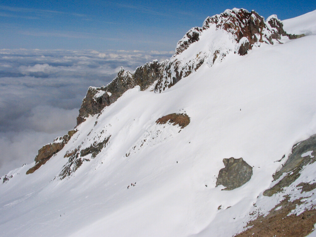
Climbers on the South Side route (May 2005).
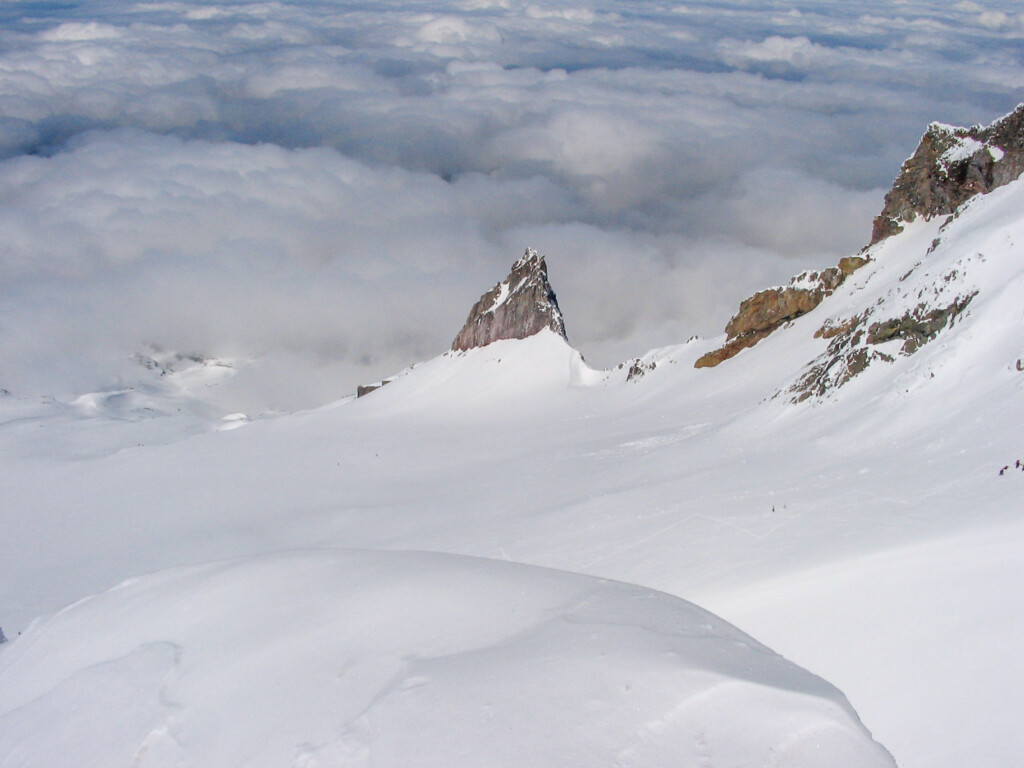
Illumination Rock as seen from somewhere along the east ridge of Hood on the Wy’East, Steel Cliff Gullies route (May 2005).
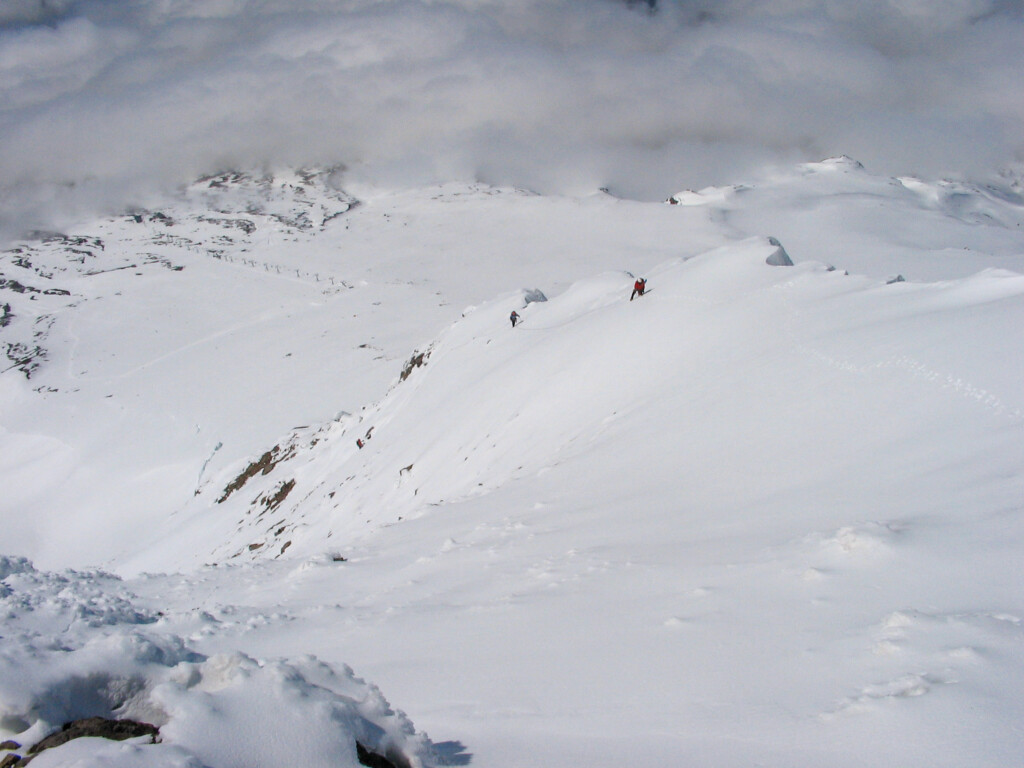
Mark, Shirley, and Steve (May 2005).
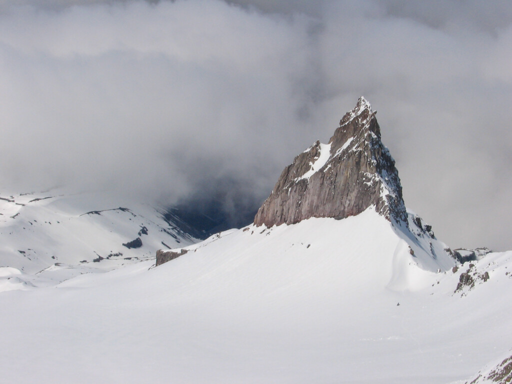
A closer look at Illumination Rock (May 2005).
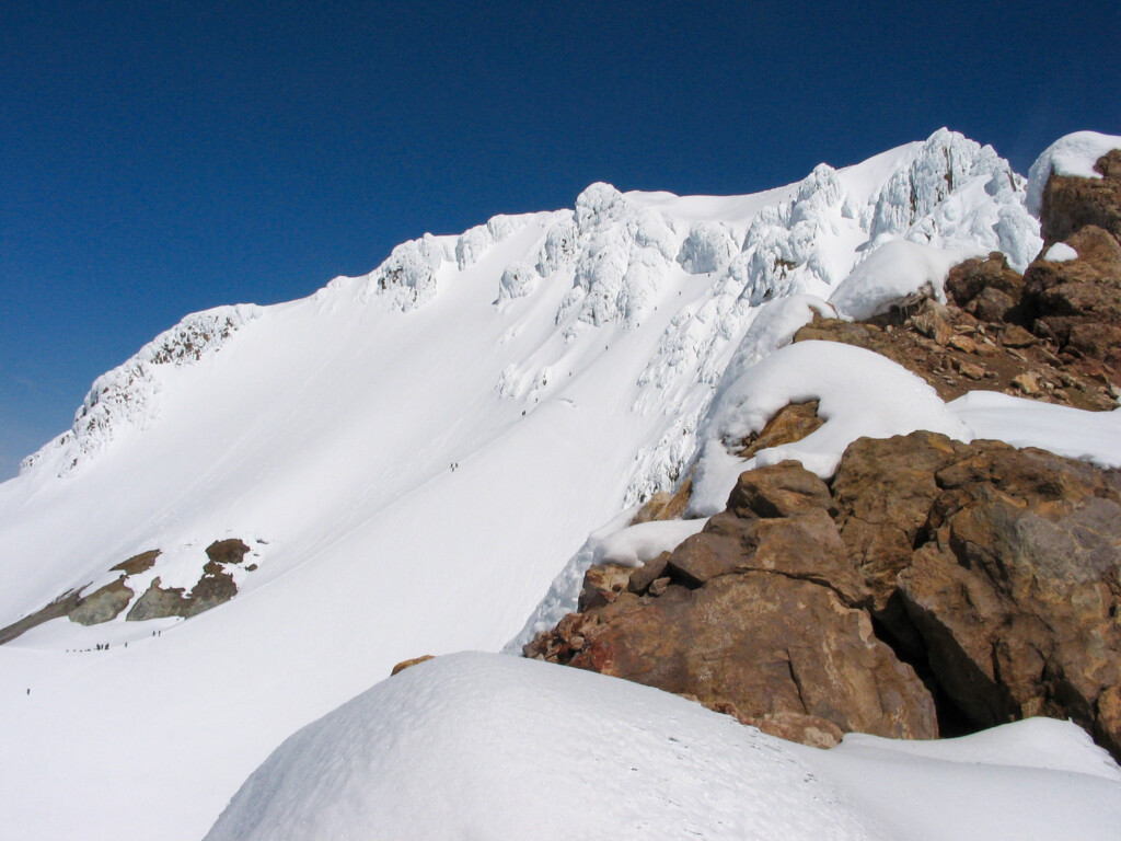
More of the conga line on the Hogs Back (May 2005).
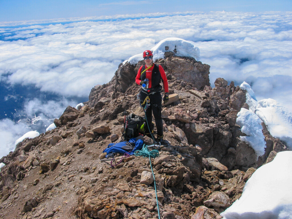
Jae above the clouds (May 2005).
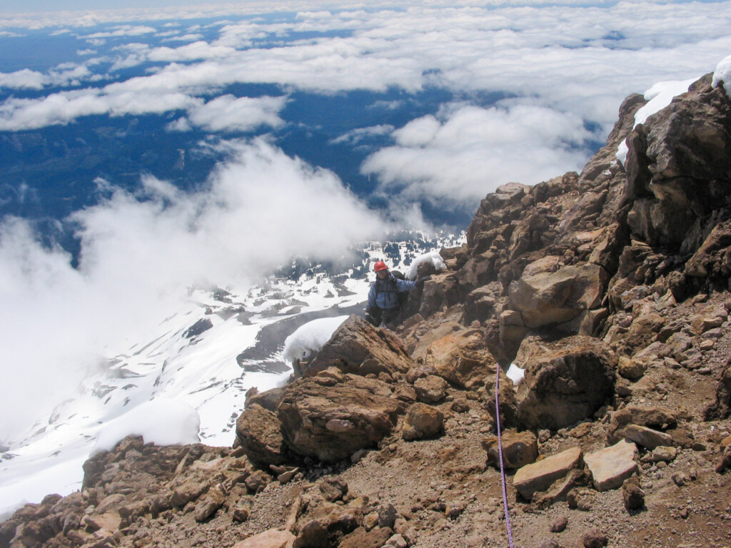
Shirley high on the Wy’East, Steel Cliff Gullies route…this is somewhere on the east ridge portion just below the summit (May 2005).
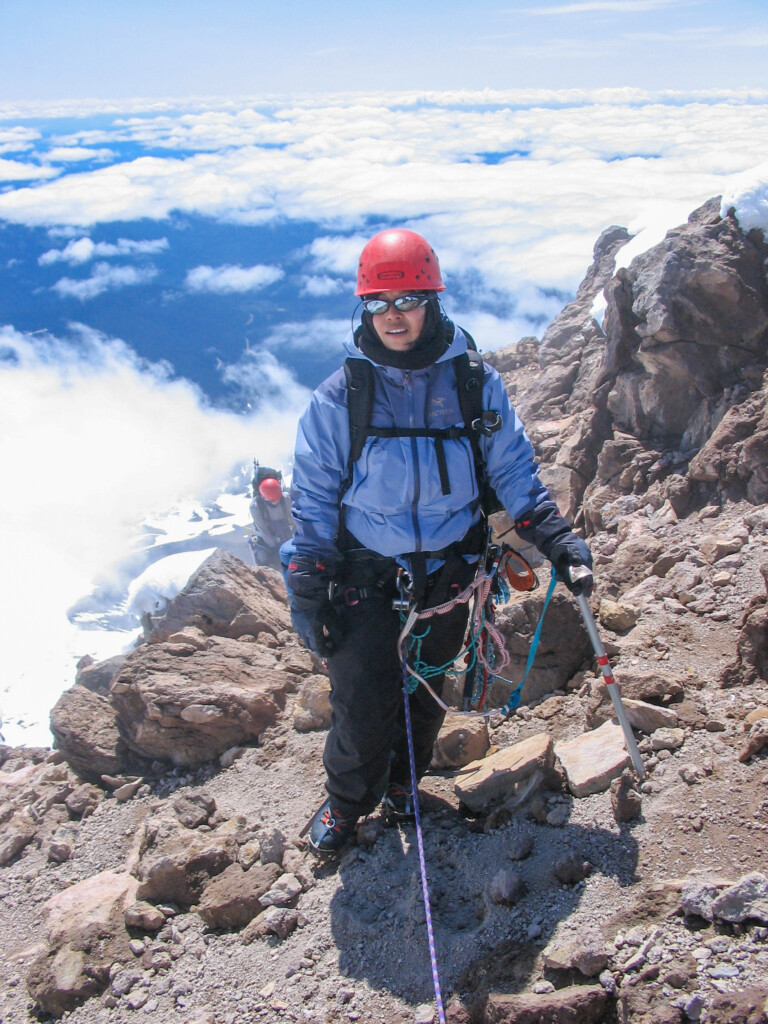
Shirley above the clouds (May 2005).
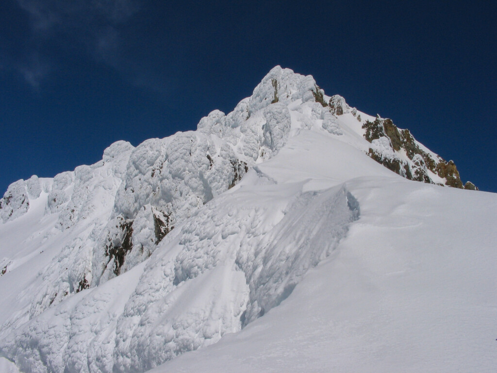
Looking up towards the summit (May 2005).
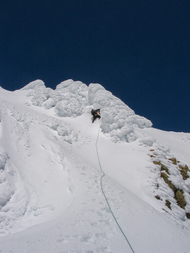
Jae E. leading the steep section of Wy’East, Steel Cliff Gullies route just below where Wy’East, Steel Cliff Gullies and Wy’East join (~300 feet below summit; May 7, 2005)
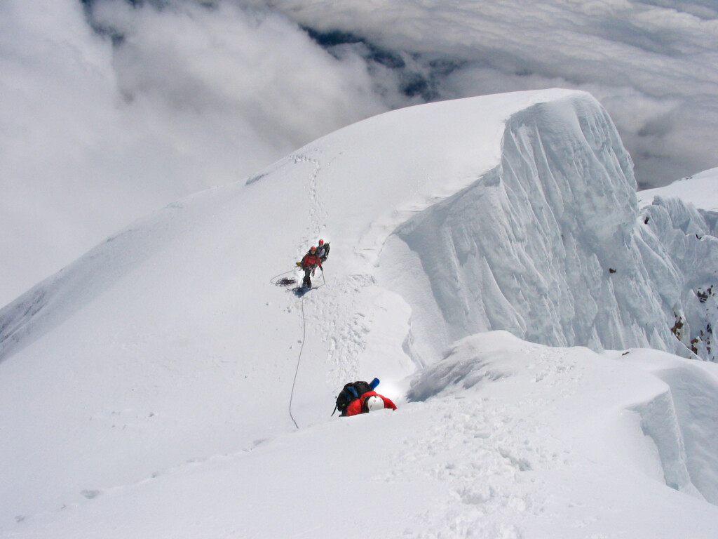
Photo taken on Wy’East, Steel Cliff Gullies from ~100 feet below the steep gullies that make up the common finish to the Wy’East, Steel Cliff Gullies & Wy’East routes (~300 feet below summit). Mark M.is leading; Shirley and Steve L. are below (May 7, 2005).
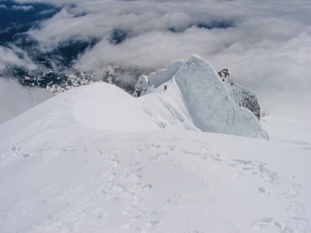
Mark M. on the final portion of the east ridge high up on Wy’East, Steel Cliff Gullies (May 2005).
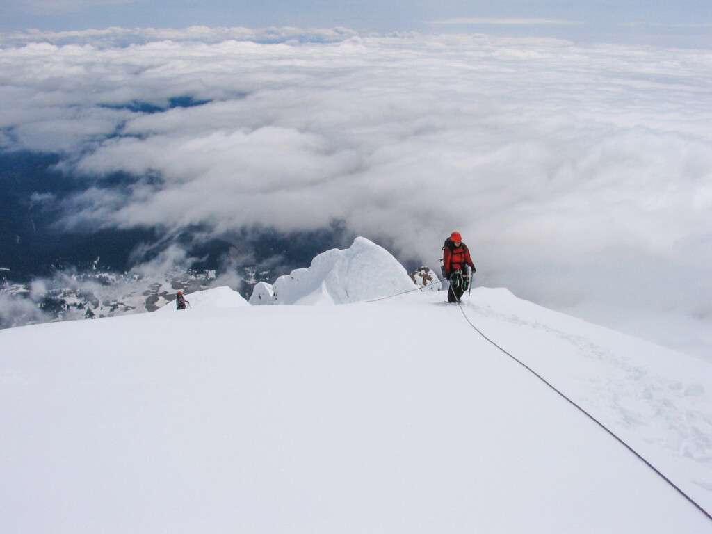
Nearing the summit (May 2005).
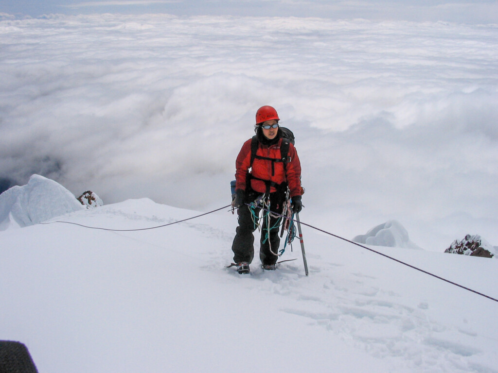
Shirley nearing the summit (May 2005).
Go back to Oregon Cascades.
