Go back to Oman page.
Go back to The Saiq Plateau page.
.

Beehive tomb in the Eastern Hajar.
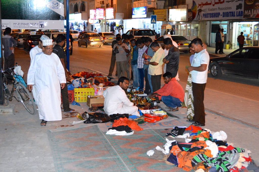
On Friday, we doubled back north and hiked the Wadi Shab with a nice soak at the far end. We then left the coastal highway and headed up into the Eastern Hajar mountains on a steep and sustained (endless 20% grade…1st gear and a prayer) dirt track passing some very isolated goat herding camps on the Salma Plateau, a remote village of Quran, and clusters of Bronze Age tombs. After 100+ km of off-road track we returned to Muscat via the town of Ibra. I have to mention here that despite their many great qualities, most Omanis seem to drive like maniacs. Tailgating a foot from your bumper at 140km/h is the norm. Most of the time, passing is not even the goal. In the evening we checked out Muscat’s famous souk – pretty fascinating indeed.
Photos
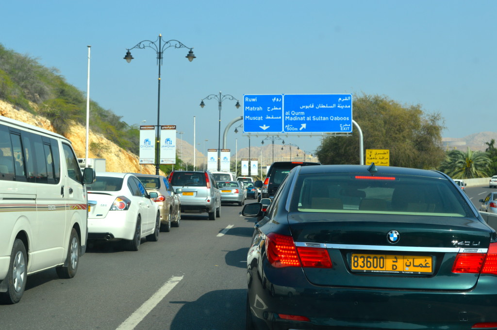
Got to experience a Muscat rush hour traffic jam (Feb. 2014).
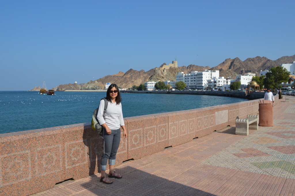
Muttrah waterfront in daylight (Feb. 2014).
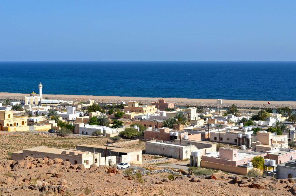
Souk area in the coastal town of Sur (Feb. 2014).
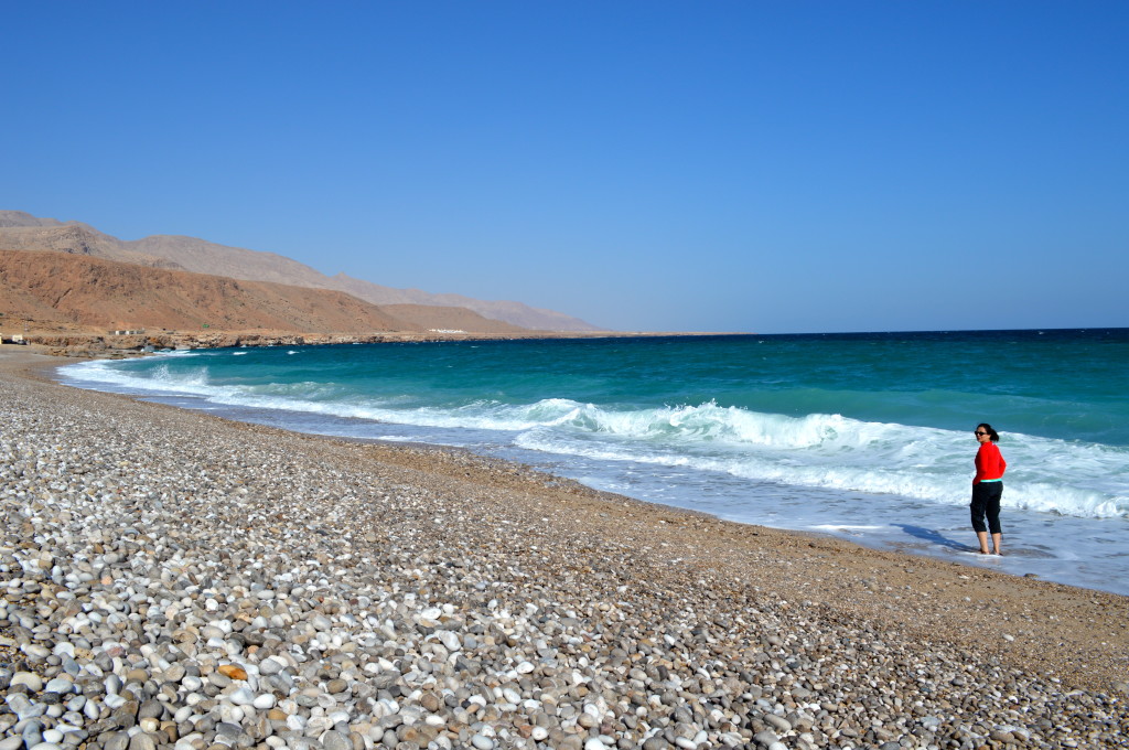
A beach somewhere between the towns of Sur and Tiwi (Feb. 2014).
The coastal village of Tiwi at the mouth of Wadi Tiwi (with some spectacular looking climbing that we unfortunately did not get to try on this trip).
Starting the hike into Wadi Shab. To reach this side of the wadi where the trail starts requires a 300 meter boat ride (Feb. 2014).
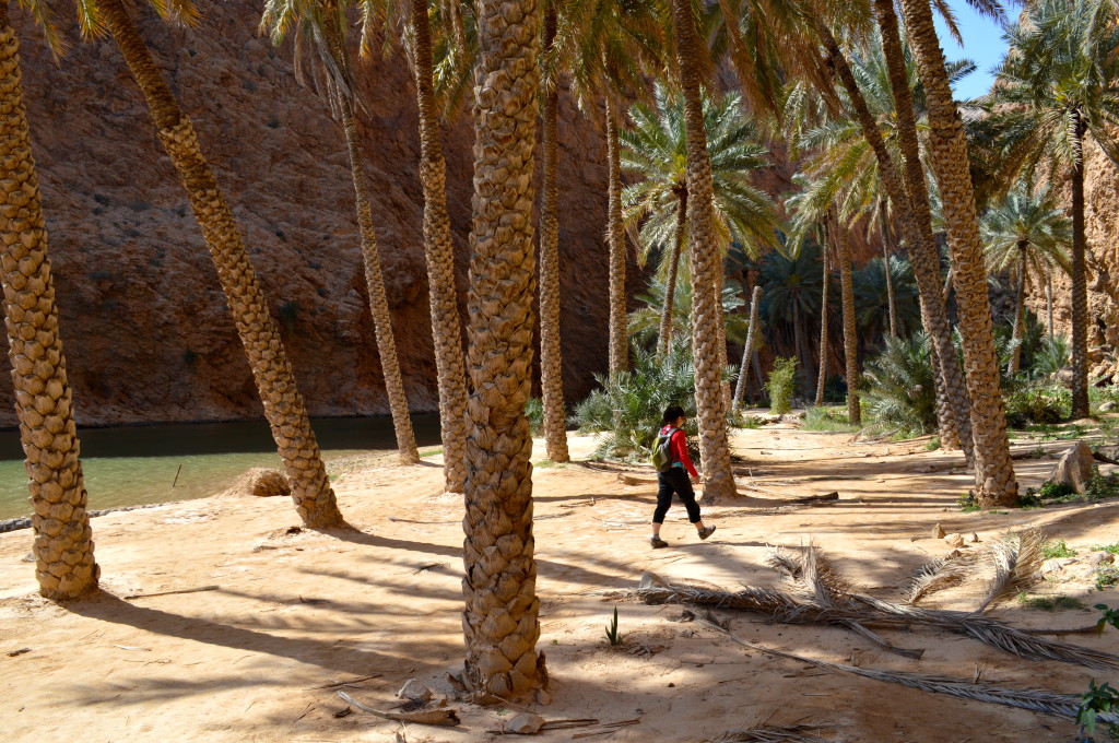
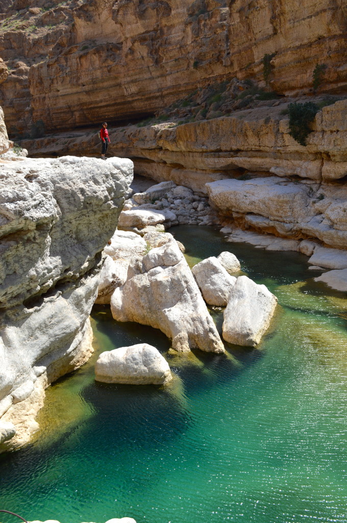
The beautiful if crowded Wadi Shab (Feb. 2014).
Deeper inside Wadi Shab (Feb. 2014).
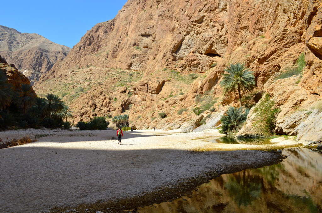
Wadi Shab (Feb. 2014).
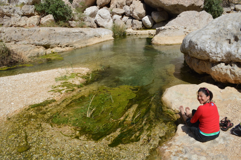
Sitting there on the warm rock and soaking in the pleasant waters deep in the Wadi Shab did not suck a day after finishing our climb of Jebel Misht (Feb. 2014).
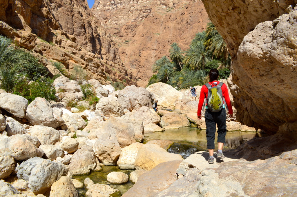
Wadi Shab on the way out (Feb. 2014).
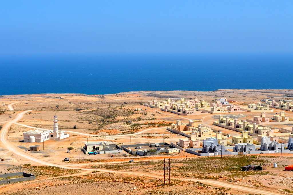
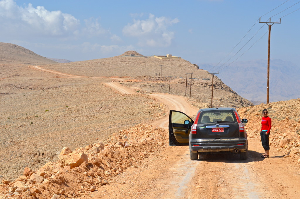
Leaving the coastal highway for a drive up to the Salma Plateau and onwards to the village of Quoran in the Eastern Hajar mountains. This is some sort of a modern development on the coast – can you say cookie cutter?
Eastern Hajar (Feb. 2014).
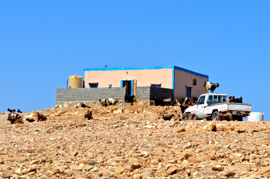
Goats on a rampage. A lone settlement somewhere on the Salma Plateau in the Eastern Hajar range (Feb. 2014).
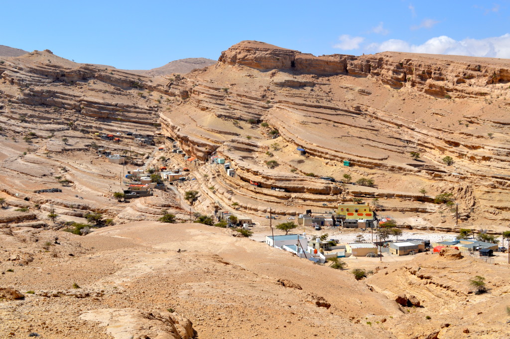
The very remote village of Quran in the Eastern Hajar mountains. It took some 25 kilometers of very steep and sustained dirt roads to reach it (Feb. 2014).
Driving the outskirts of the village of Quran (Feb. 2014).
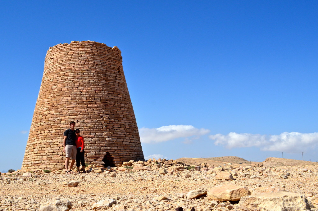
Two poseurs in front of a restored beehive tomb in the Eastern Hajar mountains (Feb. 2014).
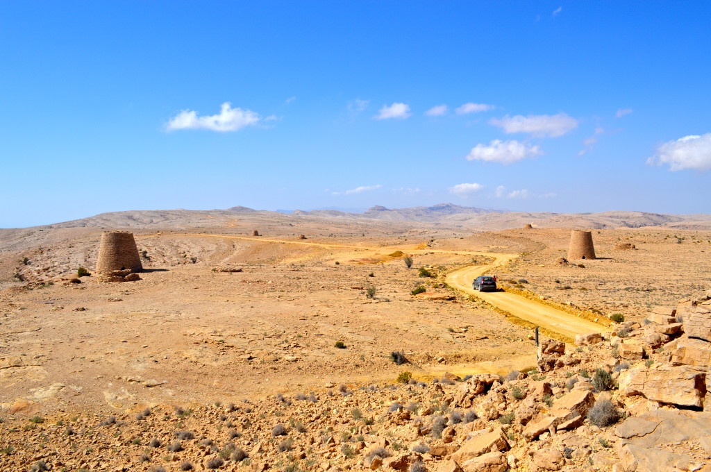
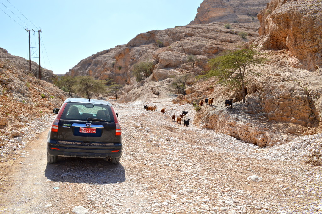
Making our way among the Bronze Age beehive tombs somewhere on the Salma Plateau of the Eastern Hajar range. A spectacular off-road drive indeed (Feb. 2014).
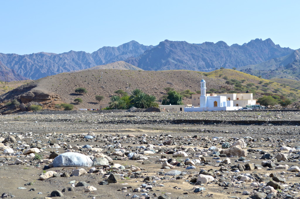
A village mosque somewhere on the west side of the Eastern Hajar range (Feb. 2014).
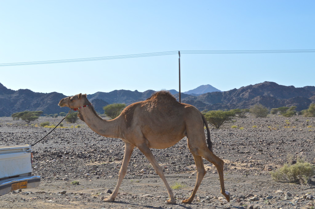
A camel in tow behind a truck (Feb. 2014).