Go back to Oman page.
Go back to The French Pillar page.
.
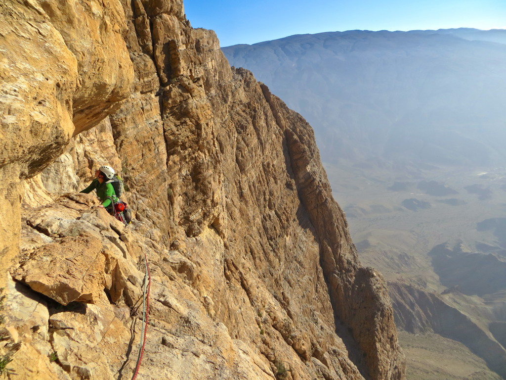
Nearing the top.
Photos, hugs, kisses and it was time to get moving as we were down to the last third of a nalgene bottle of water. In retrospect, the descent down the north slopes is straightforward. However it does have some soul crushing moments when you have to back track to escape being cliffed out…particularly so when you’re out of water. We finally reached the bottom of the valley and the dirt road some three hours later. At this point we had ~5 km to a village on the back side of the mountain followed by ~25km of road hiking back to the south side of the formation and up the wadi to our camp. We were out of water and baking in the earlyafternoon sun. Though it took a while, we finally saw a car and flagged it down for the quick ride to the village and its coffee shop.
.
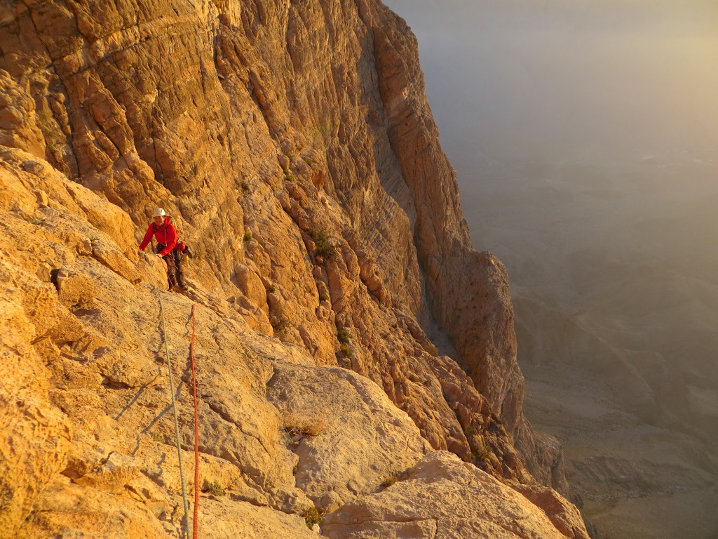
Last hard pitch.
That evening we drove out of the wadi (an E5 6b+ task in darkness…at least) and back to Nizwa for some Turkish food (excellent & cheap) and a room & shower at a hostel (shitty & expensive). At that point we had ticked off our main goal for the trip, had two and a half days left and felt little desire to put our rock shoes on again.
Photos
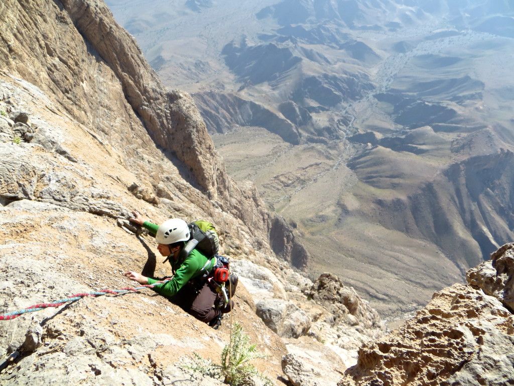
In the morning of day 2, we started out with a ~70 meter rising leftward traverse to gain the steep crack systems that would take us to the top of the upper headwall (Feb. 2014).
This is actually the wrong ledge to leave the hard crack…keep going another 5-8 meters higher where Shirley’s looking up (Feb. 2014).
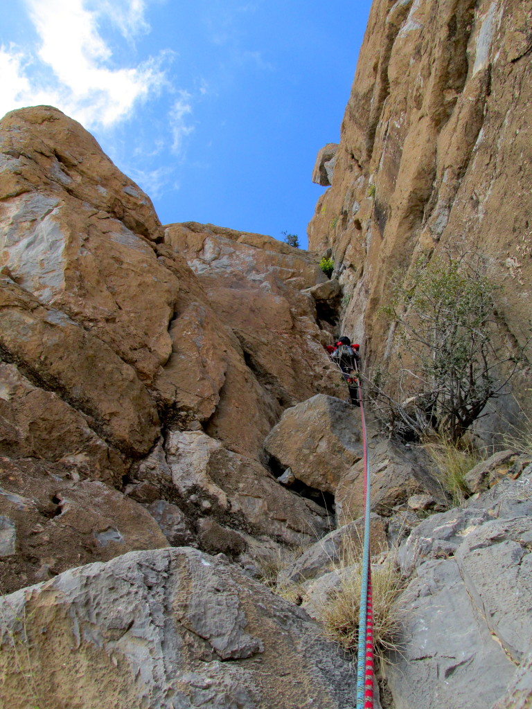
Bonus face climbing pitch due to my screw up in route finding below (Feb. 2014).

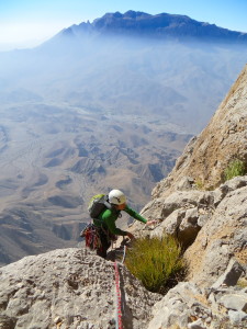
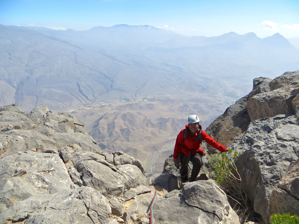
Shirley arriving on a large ledge two pitches below the summit (I think).
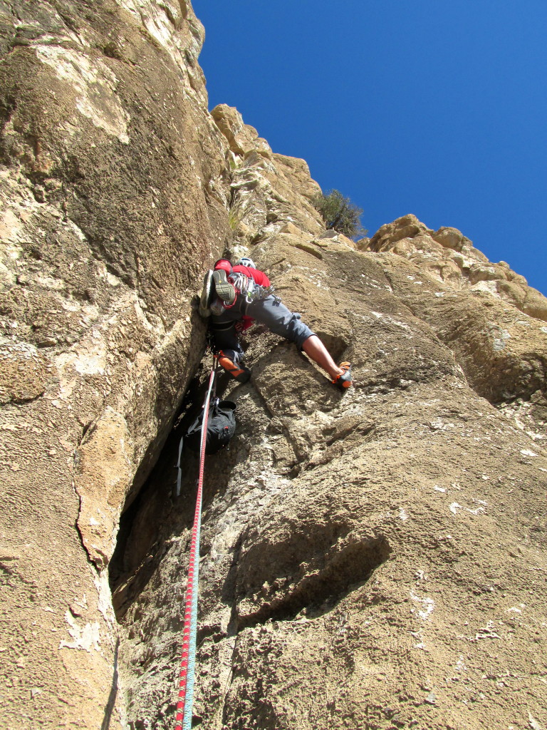
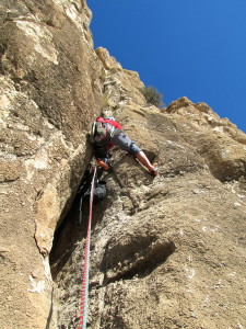
Starting up the last difficult pitch of the The French Pillar – a flared wide crack with a shaky pin or two in the back. One more pitch after this (Feb. 2014).
Leading the final pitch of the The French Pillar – the flat summit is just over the horizon (Feb. 2014).
Shirley topping out on the The French Pillar (Feb. 2014).
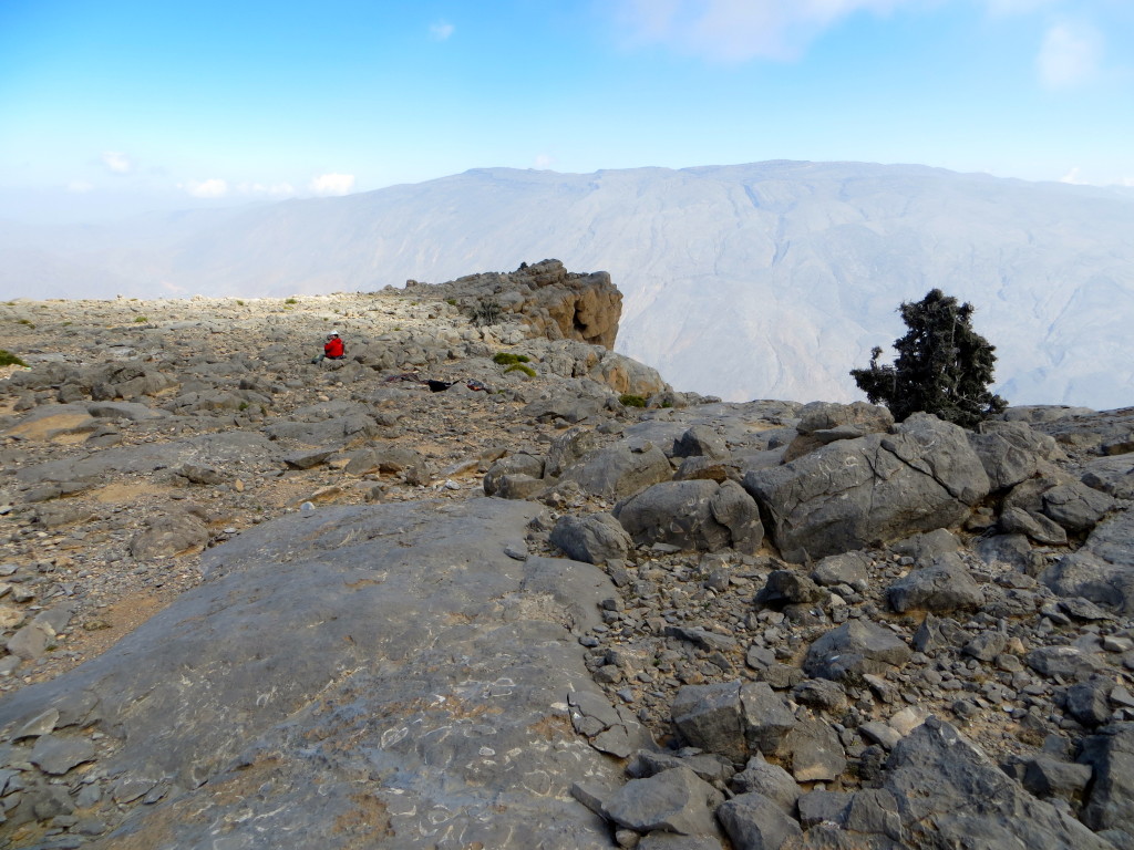
Shirley on the expansive summit plateau of Jebel Misht (Feb. 2014).
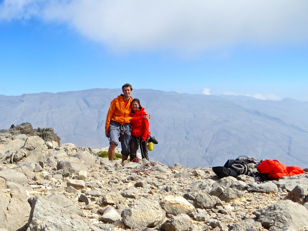
Jebel Misht summit and two wankers very happy to be done with the route. I shredded my pants on the very sharp rock down on pitch 1 (Feb. 2014).
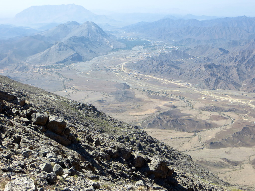
Looking towards the closest village (never got its name) from high up on Jebel Misht during descent. The coffee shop (& water!) is well after the road turns right (Feb. 2014).
Having scrambled down the north slopes of Jebel Misht, all that remains is some flat and hot hiking into the first village. Been out of water for the last hour plus and so were highly motivated to make the village (Feb. 2014).
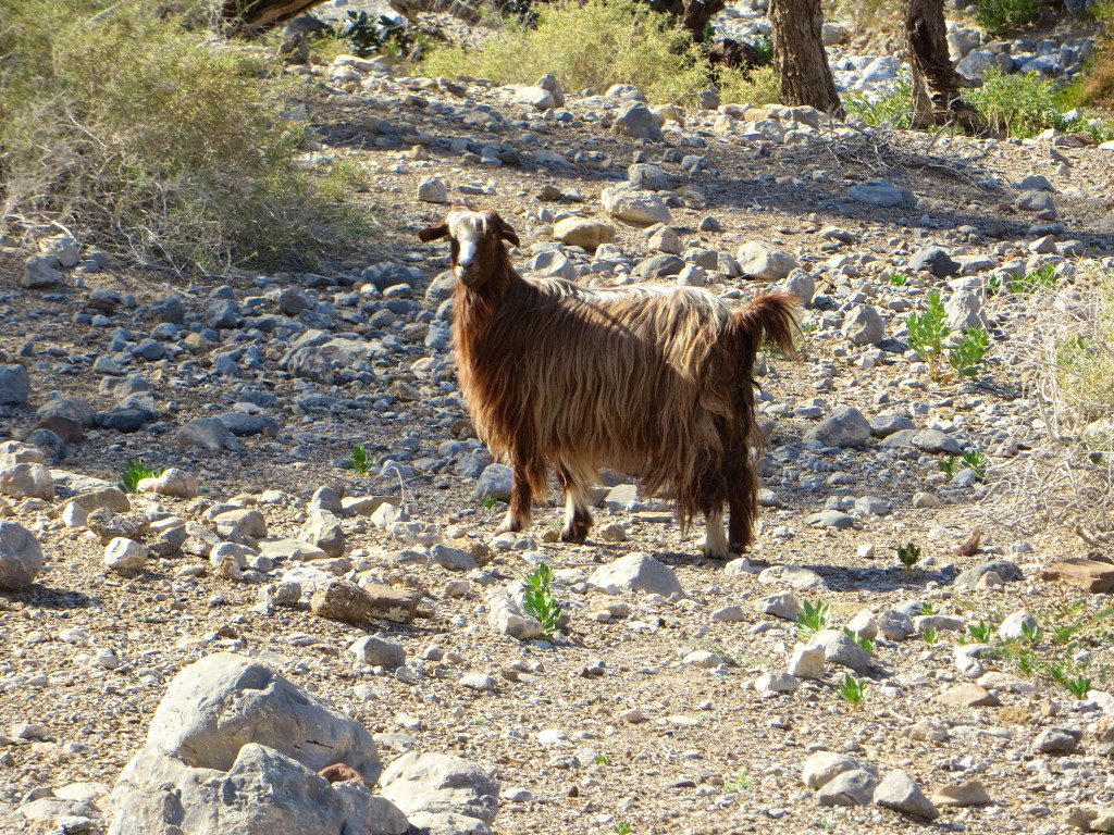
The omnipresent goats of Oman (Feb. 2014).
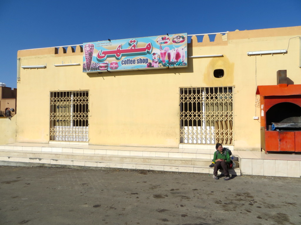
Very parched Shirley (we both were) waiting for the village coffee shop to open so that we can buy some water for the remaining 25km back to camp (Feb. 2014).
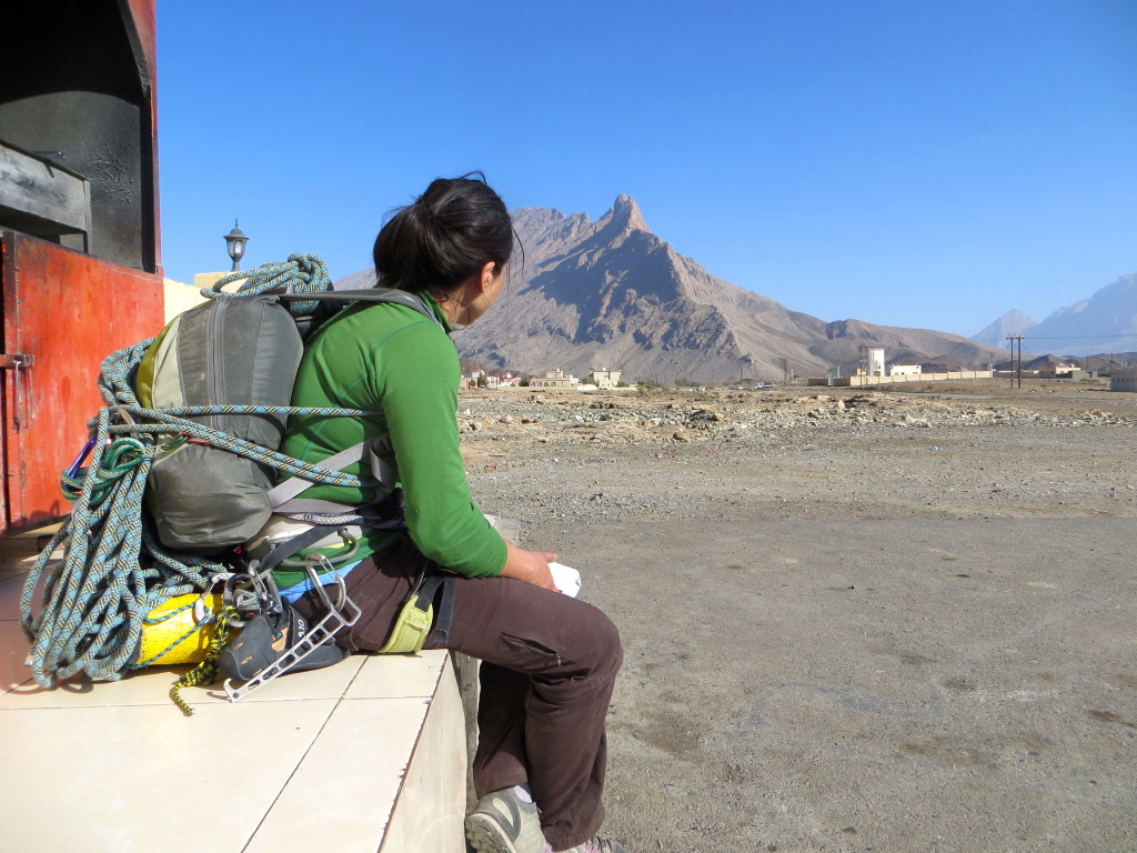
Views of the “backside” (north side) of Jebel Misht from the same coffee shop (which never actually opened).
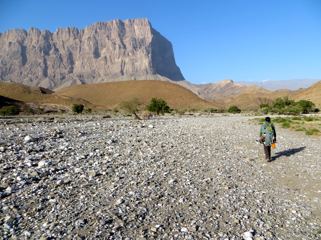
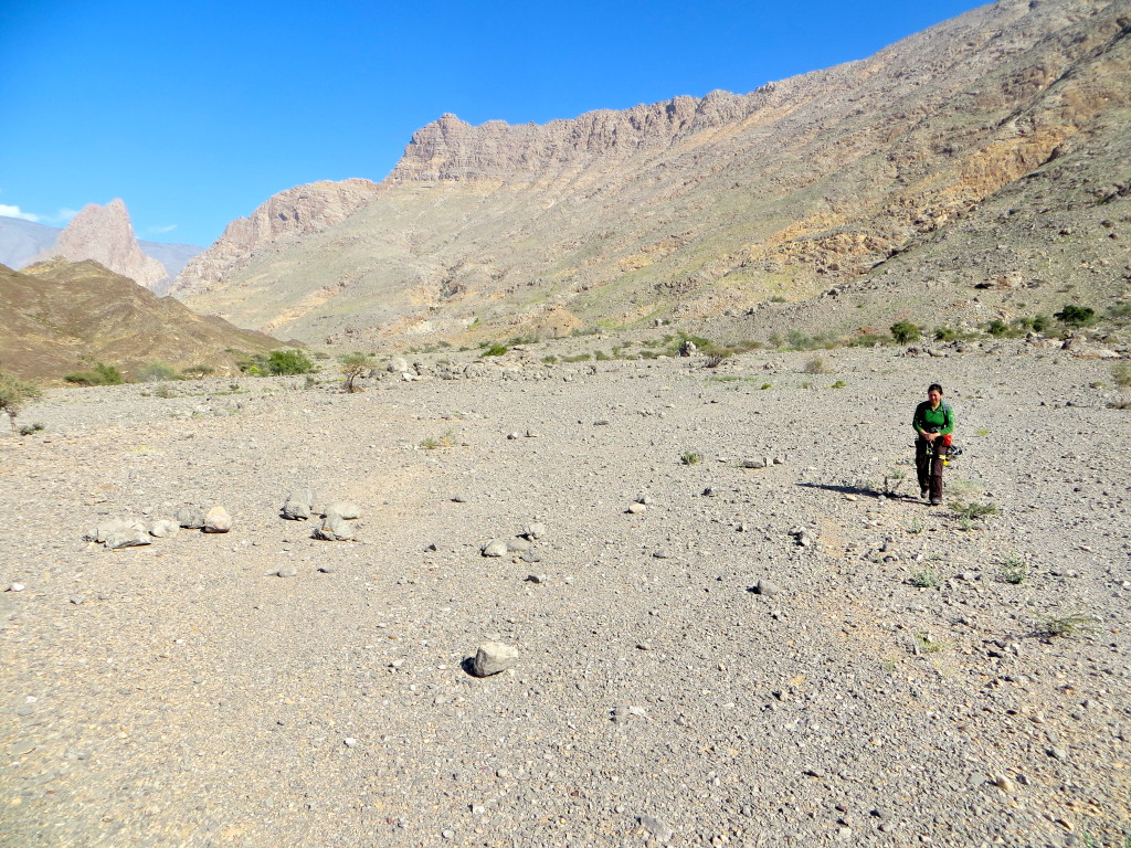
Hiking the remaining ~3km up the wadi and back to our car camp after being dropped off by Ahmed. This is the dry river bed you need to navigate our way across in a car if you want to get closer to the climbing objective…again, perhaps we leapt before looking too carefully. The French Pillar route roughly follows the sun-shade line of the prow (Feb. 2014).
Go to The Saiq Plateau page.
Go back to Oman page.