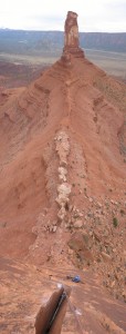
Looking down from above the crux finger crack at Shirley. Vertical pano of the ridge up to Castleton Tower included. My blue t-shirt and our packs are at the base ~160 feet below. In full version, you can see your approach/descent trail going down the right side of Castleton’s scree cone (Apr. 30, 2006).


Leave a Reply