Go back to Washington Pass Area page.
Summary
We went once in late spring (itching for that alpine) and saw (from the highway) tons of snow on the south face, including the South Buttress (III 5.8) route. Bailed to Leavenworth. Came back a couple weekends later in June of 2005 and climbed the route in dry conditions. Mostly ho-hum climbing (much low 5th class ledgy terrain) but in an outstanding setting with amazing views of the surrounding peaks.Photos
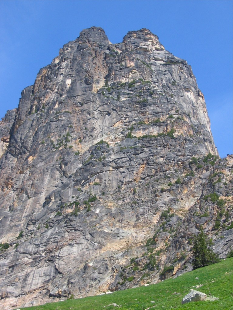
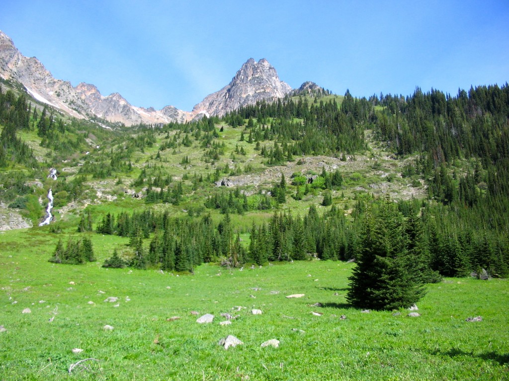
South Buttress route climbs the right side rock in the photo to the summit of Cutthroat Peak (June 2005).
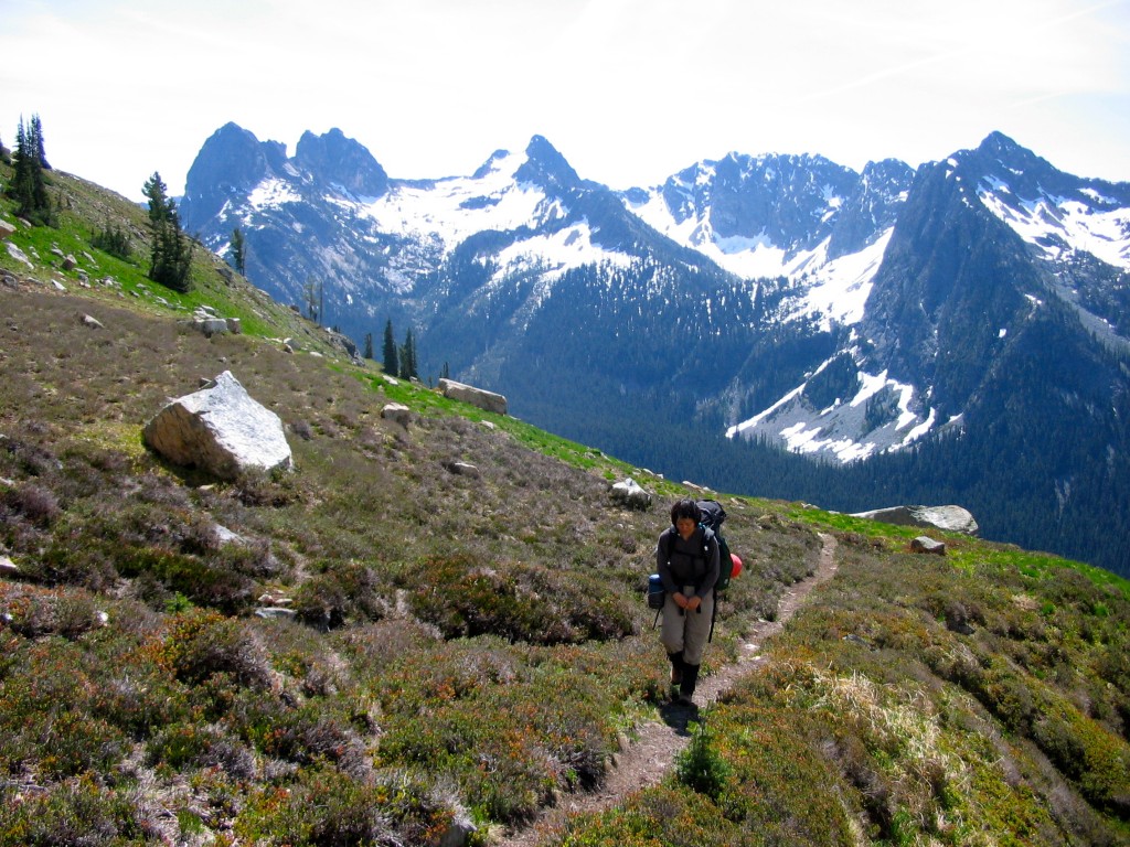
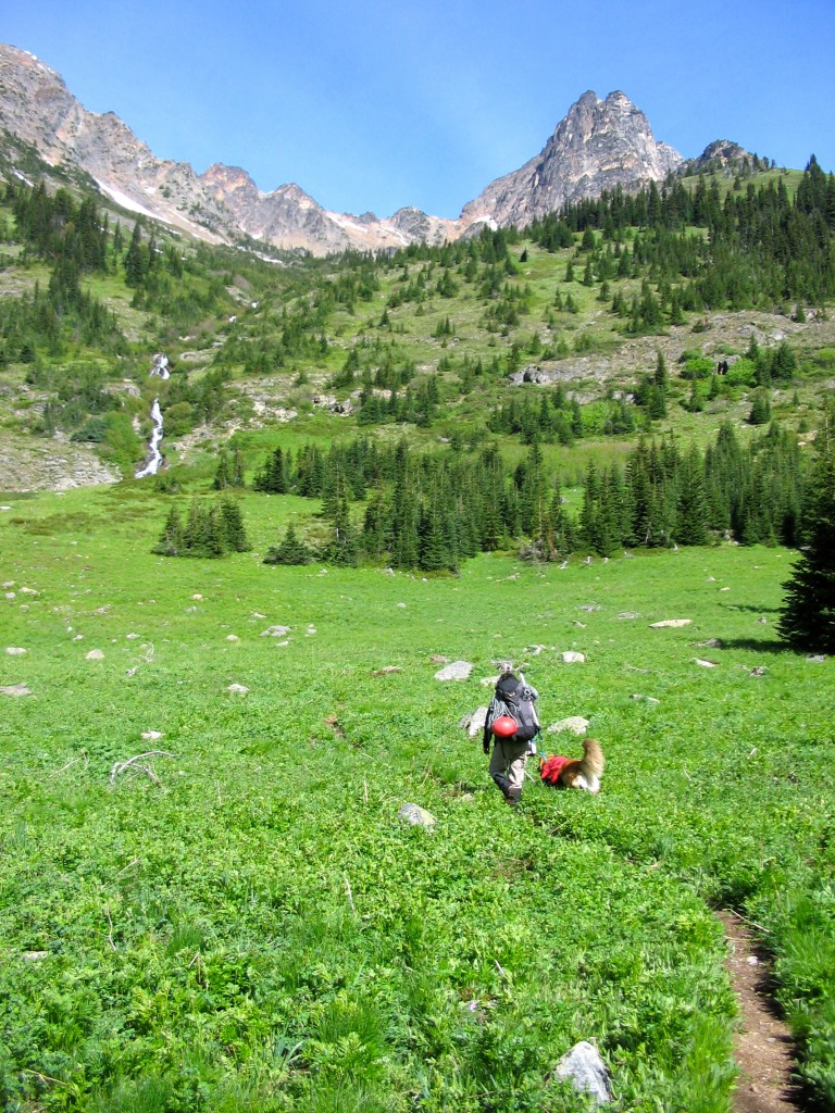
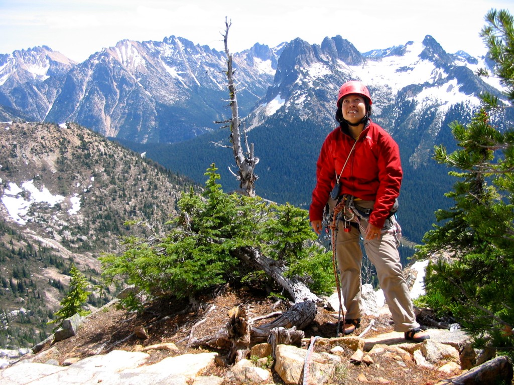
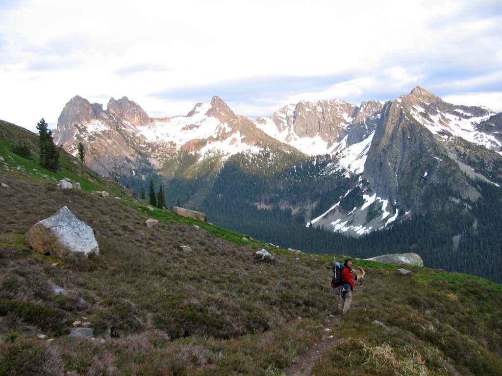
Shirley on approach to Cutthroat Peak's South Buttress route. Liberty Bell Group in background on left.
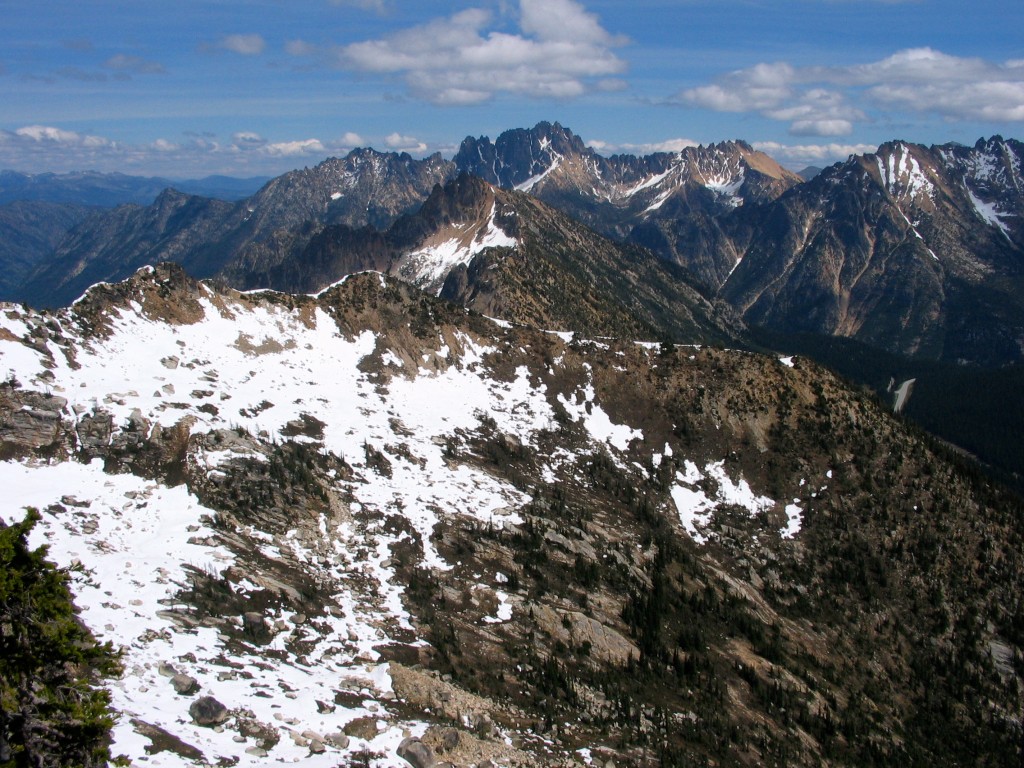
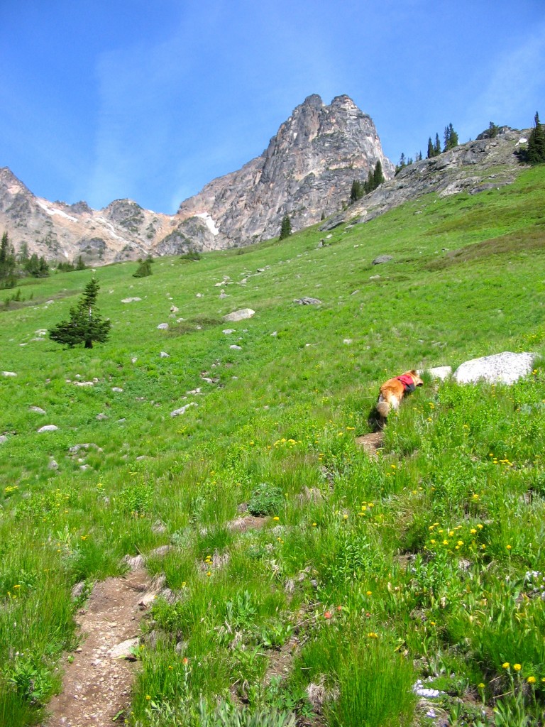
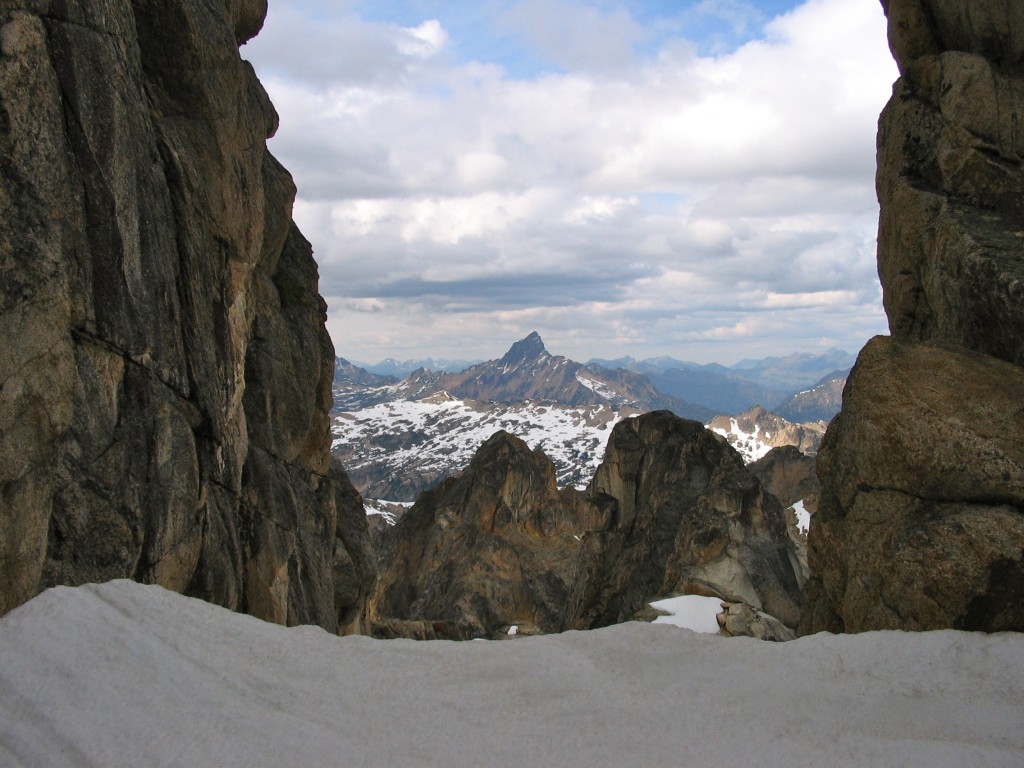
Wine Spires and Silver Star (right of center cluster) as seen from low on South Buttress route of Cutthroat Peak (June 2005).
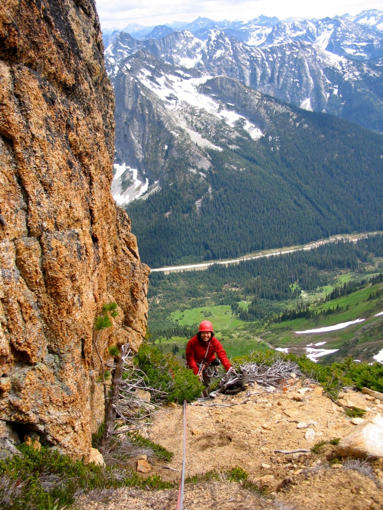
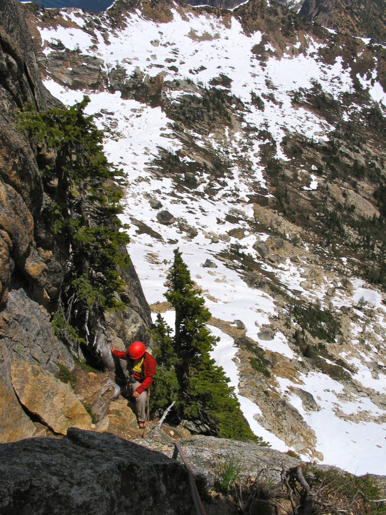
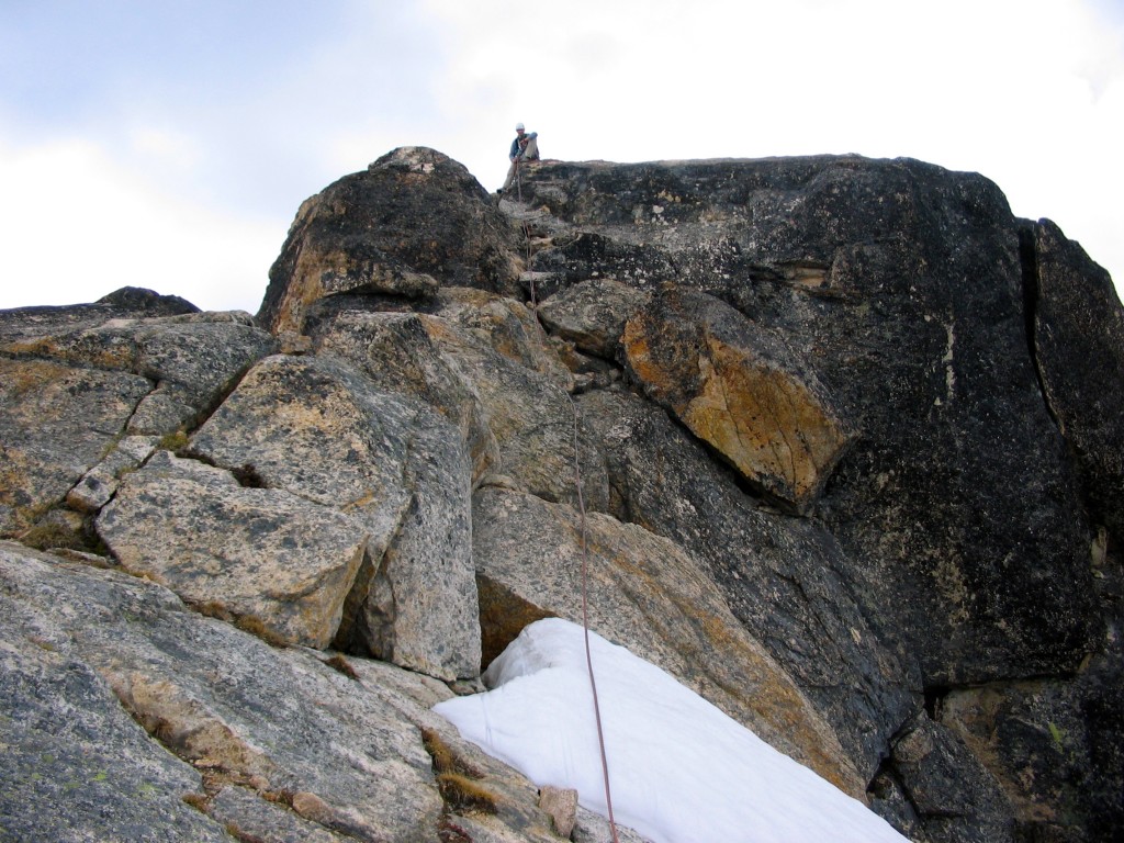
Shirley arriving on the third class terrain just above the 5.8 crux of the South Buttress route (June 2005).
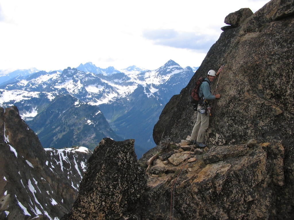
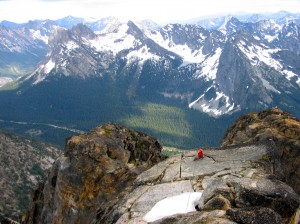
Beginning the lead of the final pitch to the summit on South Buttress route. Two 5.7-ish moves and then two more 5.7-ish moves (separated by class 3) - very typical of this route. In the background, is a panorama of the North Cascade peaks. Pyramid-shaped mountain on the right is Black Peak; to its left is probably Mount Logan, and even further left (center of photo, far background) might be Mount Goode (June 4, 2005).
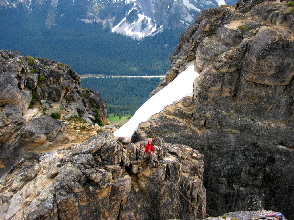
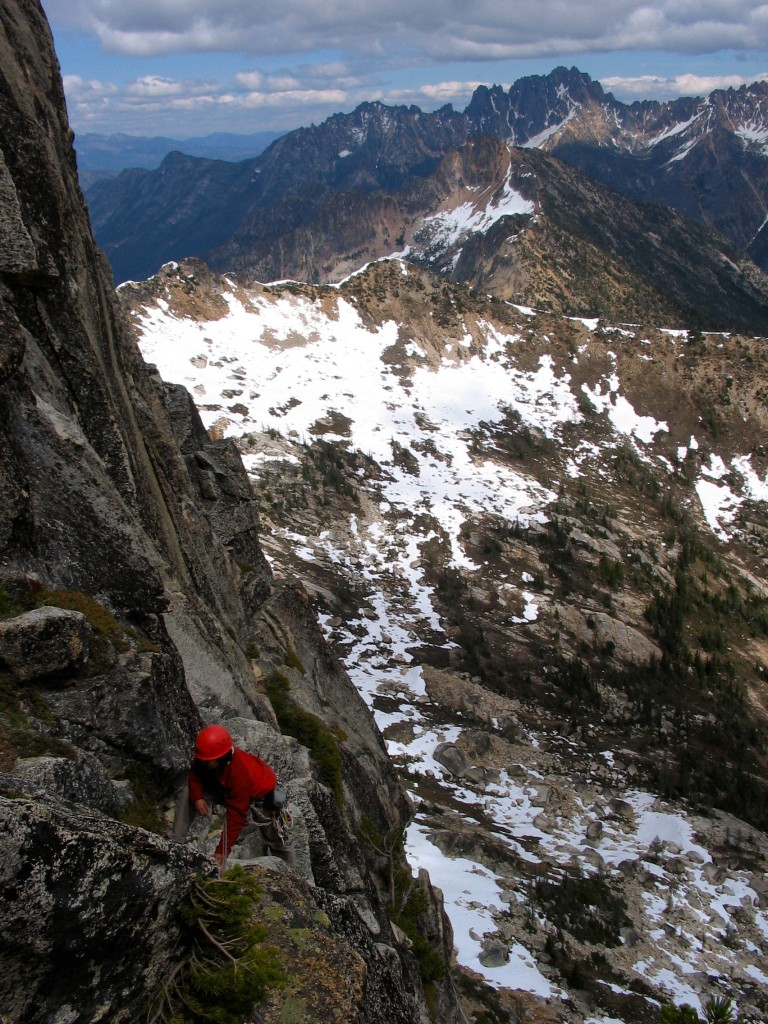
Shirley belaying me from just above the notch (above the class 2 section) on the South Buttress route with the two subsummit humps in the background. Below, the North Cascades Hwy. (WA SR20) can be seen (June 4, 2005).
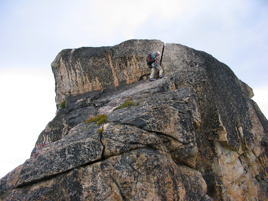
Leading the short and easy OW crack ~100 feet below the summit. Actually, there's only class 3-4 traversing terrain remaining between top of crack and the summit. This is the best part of the whole South Buttress route IMHO - unfortunately it's only 8 feet long (June 4, 2005).
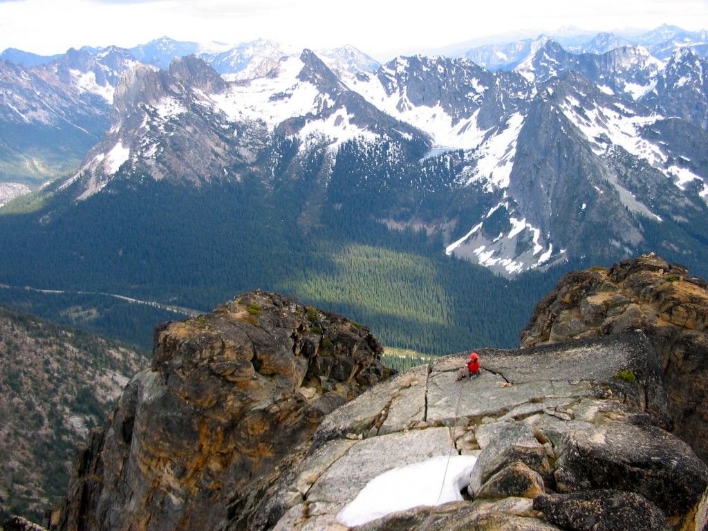
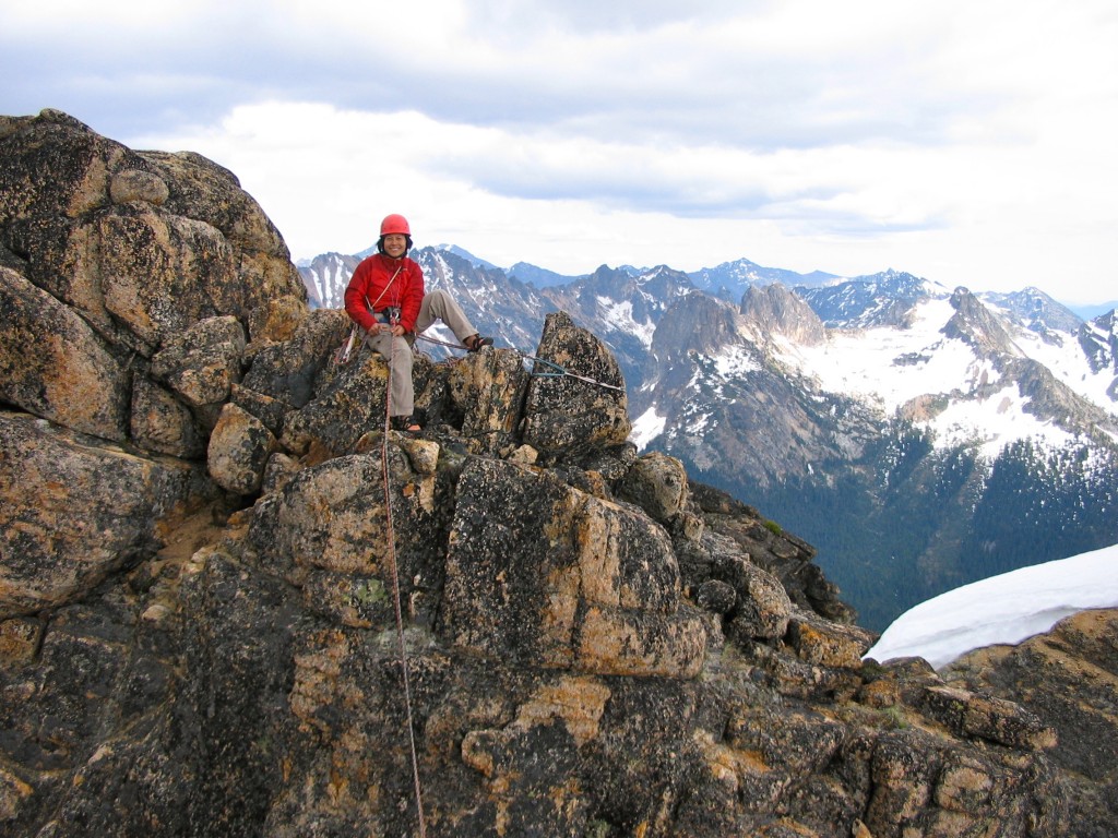
Shirley on a flat slab ~50 feet below the summit. This is directly above that pretty but short OW crack on the South Buttress route. From the summit you downclimb (class 4) to where Shirley is and then the mental crux of the climb happens: rappel from the mystery set-up (slings hooked around God-knows what :). Alternatively, it's easy enough to downaid the short OW crack and rap from a slightly better set up on a ledge ~30 feet below Shirley. This is looking ~south. Liberty Bell Group (leftmost cirque) is the only thing I can pick out in the background. I will add more info. with credit if/when folks contribute... Directly below on the left and right are the two humps that look like the summit from the hiwghway (WA SR20) below (June 4, 2005).
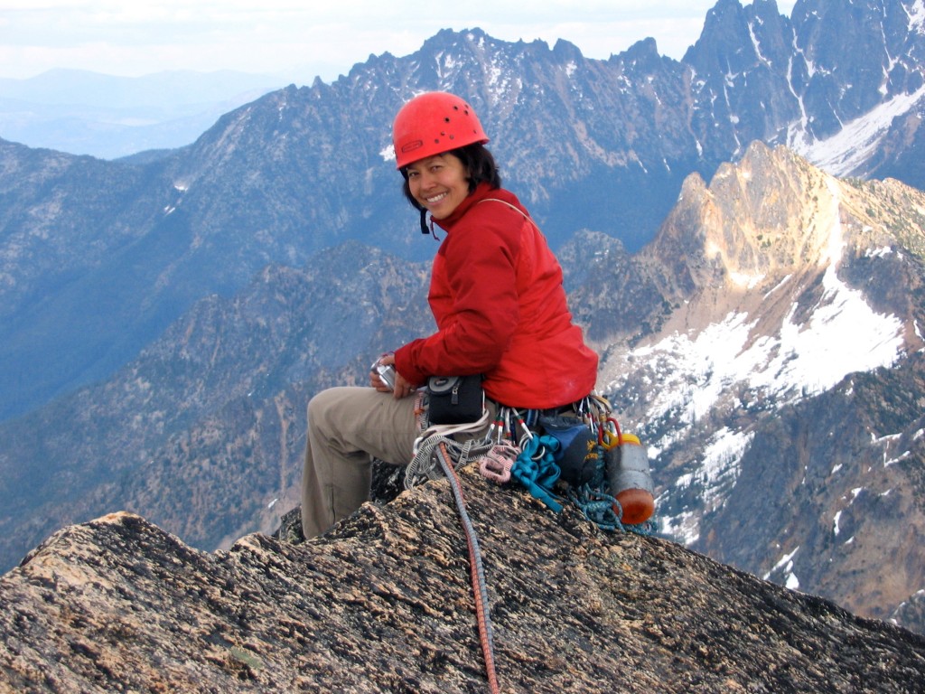
Shirley on the narrow little ridge of a summit of Cutthroat Peak following our climb of South Buttress. In the background (chopped off partially) are the Wine Spires (?). This is looking roughly east (June 4, 2005).
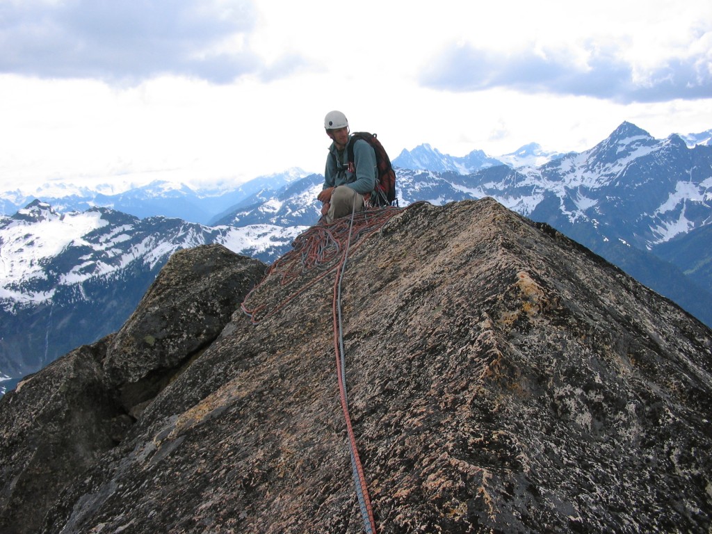
Yours truly on the summit of Cutthroat Peak. This is looking roughly west towards the heart of North Cascades N.P. In the background, immediately right of me are Mount Goode, Mount Logan, and Black Peak (pyramid-like). Thanks to Martin Cash for providing this information (June 4, 2005).
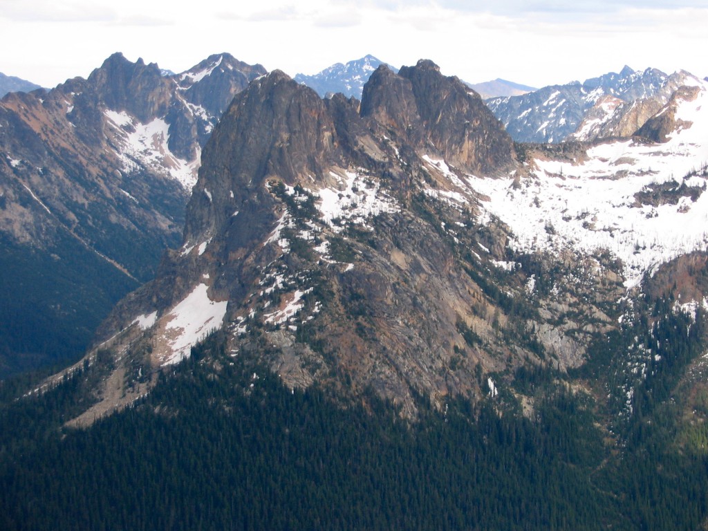
Liberty Bell and the (N. and S.) Early Winter Spires as seen from the descent from Cutthroat Peak (June 2005).
Go back to Washington Pass Area page.
