Go back to Olympics page.
Summary
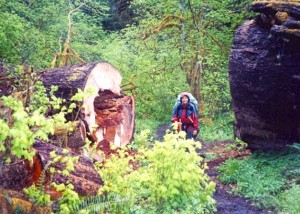
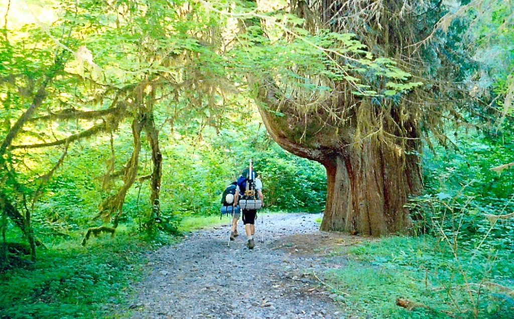
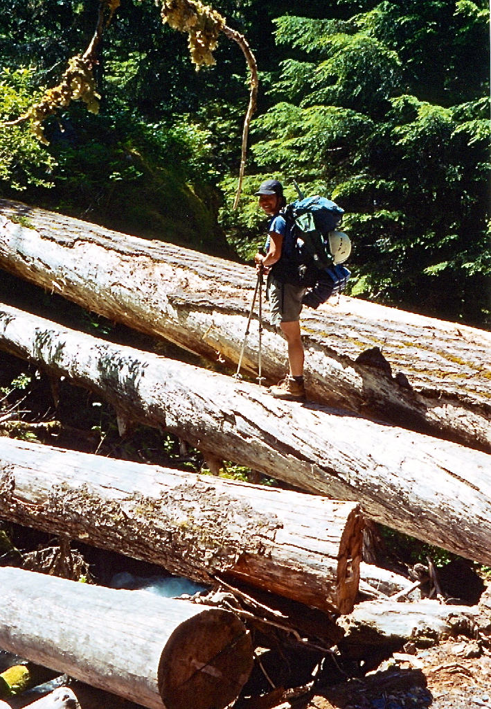
The long hike to the foot of the Blue Glacier through Hoh rainforest the first time around (May 2001).
In mid-March of 2001, Shirley and I had just moved out to Oregon from the East Coast and were eager to begin exploring our new environs. One of the first backpacking trips that we made in the Pacific North West was an overnight hike to Glacier Meadows in early May of 2001. The required distance and elevation gain as well as guide books’ promises of an unforgettable sight of the Blue Glacier enticed us to make this long trip. The hike was beautiful though long and we were stopped 0.25 miles below Glacier Meadows by a snow-filled avalanche chute that (given our lack of equipment/experience) looked questionable. We vowed that the next time we’d do this hike, we’d be climbing Olympus.
.
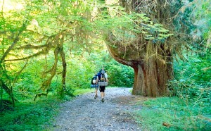
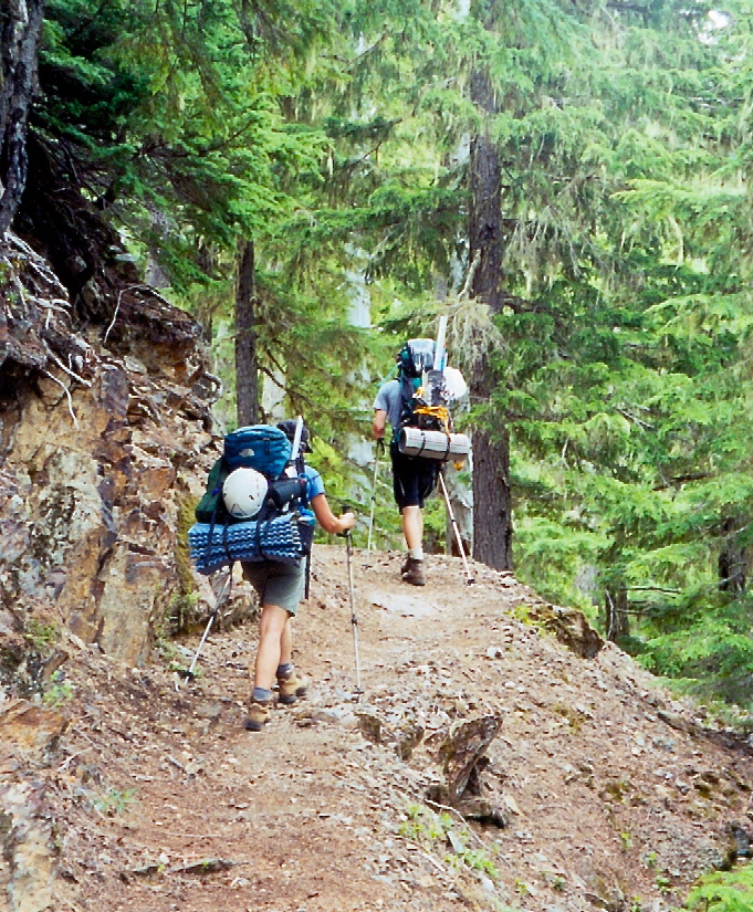
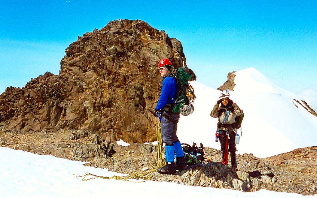
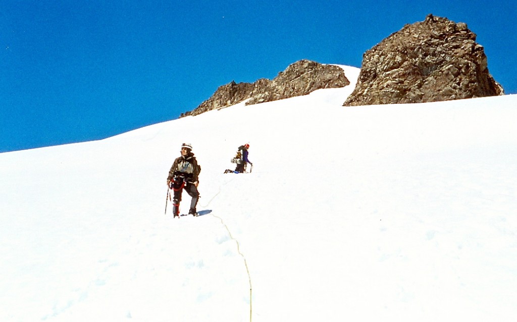
Shirley and Andrew starting out the long approach on day one (July 2003).
It was Friday morning, July 4th 2003 when we awoke at 6am at the Hoh Rainforest trailhead after a short night in our pick up. The plan was to climb Olympus in three days. Shirley and I were to do this climb with our friend Andrew. We started hiking through the beautiful rain forest at 7am sharp. Short time into our hike, we passed by a large group of Australians also summit-bound. We kept a decent pace and arrived at the Olympus Guard station in under 3 hours. We spent close to an hour relaxing there and eating an early lunch. The next break came above the “13-mile bridge” at a log crossing of a stream. As it was still early in the day, we once again took a long break and refilled our water bottles.
.

Glacier Meadows camp the evening prior to our climb (July 2003).
This leisurely pace brought us to the Glacier Meadows camp at about 3:30 pm. To our surprise, the camp is still well below timberline and is outfitted with two pit toilets, bear wires, and plenty of inviting camp sites. We picked a site close to the stream and set up camp. To our dismay, at about 5pm, the clear skies started clouding over. The snow gullies above the meadows quickly disappeared in the clouds. We were not optimistic. After enjoying a warm dinner we crawled into the bivy sacks at about 8:30pm with the intention of waking up at 3 am to size up the situation then.
.

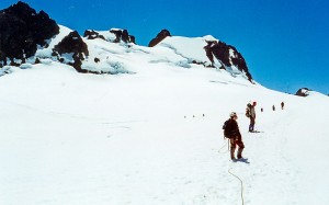
Shirley and Andrew next to a huge crevasse on the upper reaches of the Snow Dome (July 5th, 2003).
The alarm rang out seemingly in the middle of the night and as always way too soon. No stars were visible but at least it was not raining. After forcing down some breakfast (thanks go to Andrew here for bringing and sharing some [dry] cereal – a much better choice at 3:30 am than Gu!), we set out towards the ranger station (a comfy looking yurt). A quick read-through of the sign-in sheet confirmed that there were two parties just ahead of us on route. We reached the first snow field just as the black night was changing over into a grayish morning. There was a party of two behind us. The weather seemed to be deteriorating with altitude. There was a dense fog in the air. Since the three of us have never traveled as a rope team before, we decided to rope up on the snow field to gain a brief practice before getting to the Blue Glacier. As we topped out on a ridge above the lateral moraine, the visibility improved and we could make out two parties (4 or 6 climbers respectively) about 20 minutes ahead of us already on the glacier.
.
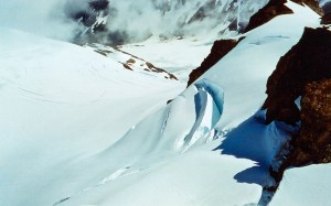
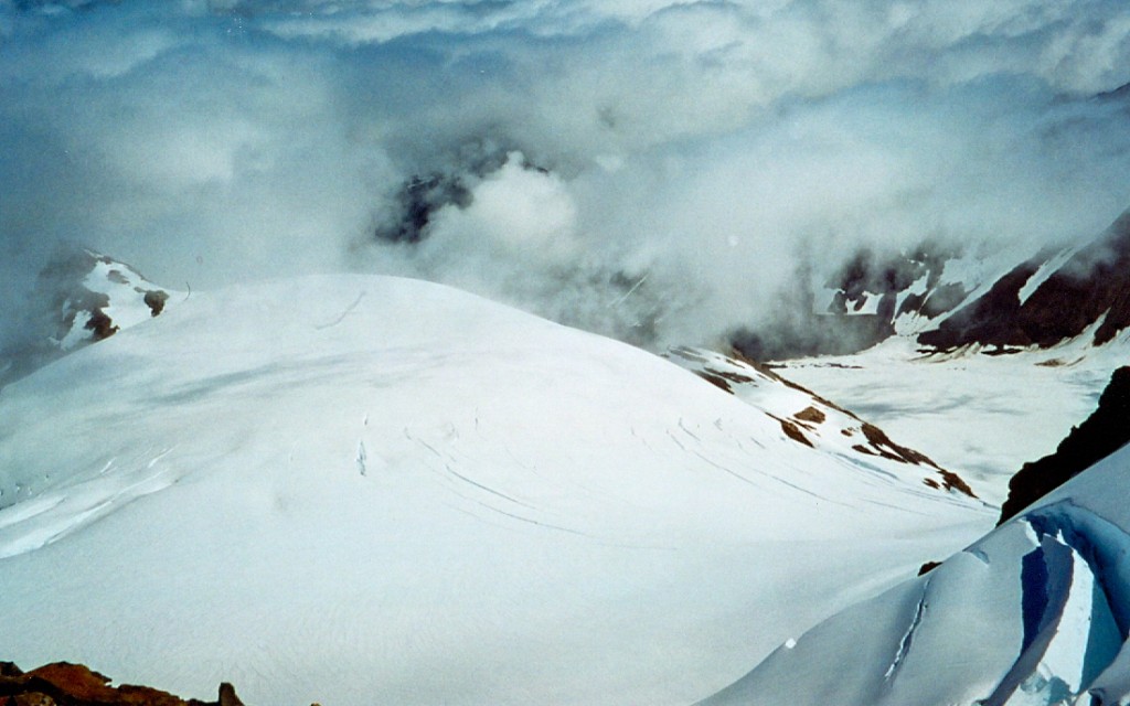
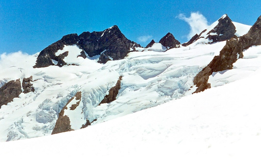
Crevasses on the upper Snow Dome (July 2003).
The glacier looked imposing especially since the fog limited our visibility to the point where we could not make out the edges. We descended onto the glacier and picked up a well-beaten foot path through the snow that was covering the Blue. We crossed the Blue Glacier at a roughly constant elevation of 5200 feet. Some zigzagging around partially exposed crevasses was required near the opposite side. Finally, we reached the steeper snow fields on the opposite side and began climbing. We were able to stay on snow and avoid slabs almost all the way (one brief scree crossing was required). Our path initially meandered in-between rocky outcrops before finally reaching a broad and steep snow field higher up. The weather was getting worse. It was misting and it was cold. We stayed roped all the way to save time (knowing that we’d need to rope up again for the crossing of the Snow Dome above). The edge of the relatively flat Snow Dome (glacier) is at about 6600 feet. The visibility was not improving.
.
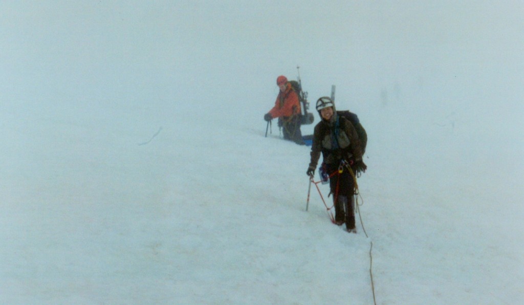
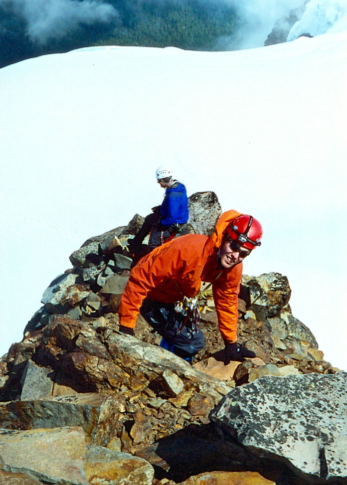
Andrew and Shirley just below the summit (perhaps? July 2003).
Despite what the guide books suggest (traversing the Snow Dome in the direction of the snow research station), we began following the well-beaten foot path which we deduced took a direct line towards the Five Fingers formation. The route was mostly flat and followed a line parallel to two large crevasses on either side. After some time, the route took a sharp left turn to avoid a huge crevasse (or bergshrund) directly ahead. It then crossed this shrund over a firm-looking bridge. This put us in-between two huge crevasses (or bergshrunds?). Again the route turned left and crossed the second void over a much thinner looking snow bridge. We took our time crossing these two. Directly above, we arrived at a saddle between two rock formations. As the visibility was still quite poor, we could only guess that we’re east of the Five Fingers formation. The beaten foot path then crossed over to the other side of the saddle and began traversing (with some elevation gain) around the other side of Five Fingers finally cutting upwards in a snow chute (top of which has a small bergshrund). A short scramble up the ridge to the false summit was followed by some painful elevation loss (~100 feet or so) to another saddle between the false summit and the West Peak (true summit). Lastly, a steep snow climb (approximately 200 feet of 40 degree snow) brought us to the base of the summit rock pinnacle and….the crowds! The two groups ahead of us turned out to be The Mountaineers (unofficial climb) and were about half way done. By this time however, the sky had opened up and we got our first view of the surroundings.
.
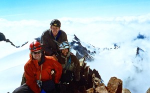
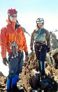
The three of us on the summit (July 2003).
There were still thick clouds down below so that all we could see were the sub-summits of the Olympus Massif – but the sun was shining and we were near our goal! We decided to take a steeper crack option (5.4 or so) immediately to the left of the 4th class scramble (or so called – looked a bit steeper than 4th class). Andrew quickly led the 80 or 90 foot pitch and we followed topping out sometime between 10 and 11 am (not sure?). The summit was spectacular (though crowded)! We snapped some photos, signed the summit register (contained in a heavy steel case with a “Mazamas” inscription – thought this was Mountaineers’ territory?) and rapped our ascent route (single rope). We had a quick glissade back down to the summit/false summit saddle where we enjoyed a great lunch courtesy of Andrew (fresh pears and cheddar cheese).
.
Shirley & Andrew hiking down the Snow Dome (July 2003).
The descent was uneventful. We did however get to see a lot more than we did on the ascent as the sky cleared up and the day became sunny and hot. The summit pinnacle (and various rock formations) provided an impressive skyline from Snow Dome. The ice falls on the upper Blue Glacier were magnificent! The snow bridges held up just fine despite the rising temperatures. We got back to our Glacier Meadows camp at 3:45 pm. After cooking a nice, warm dinner (consisting of three packets of freeze dried crap), we decided that it would be wise to attempt a hike out that evening. We started down at 5:45pm and reached the “13-mile” bridge (approx. 5 miles) in exactly 1 hour and 15 minutes. Another 2.5 hours brought us down to the Olympus Guard station (mile 9.1 from trailhead). After resting for half an hour and making some small talk with the friendly ranger, we continued our hike out.
.
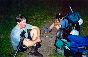
Mile 39, hour 39 of the Olympus fun.
Headlamps came out at about 9:15 pm. Our bodies were tired. It has been a long day: woke up at 3am, gained 3500 feet to summit, then lost about 6500′ on the way down and covered a total of about 23 miles. Finally, the fatigue won and we decided to make camp at about 10:30 pm at the 5-mile Island campsite – just 5 miles shy of our intended target (the car). The temptation of being horizontal inside the bivy sack was too great to resist. On Sunday, we got up at 7am and were back at the car at 9am. It was not quite an overnight climb but at 50 busy hours total (where we covered 44 miles and about 7500 feet of elevation gain/loss) it was satisfying enough for us – and it was good.
Photos

The long hike to the foot of the Blue Glacier through Hoh rainforest. About 17 of the 18 approach miles to the high camp look like this (May 2001).
Shirley and Andrew starting out the long approach on day one (July 2003).
Hoh Rainforest approach (July 2003).
Grade starting to pick up on the approach hike (July 2003).
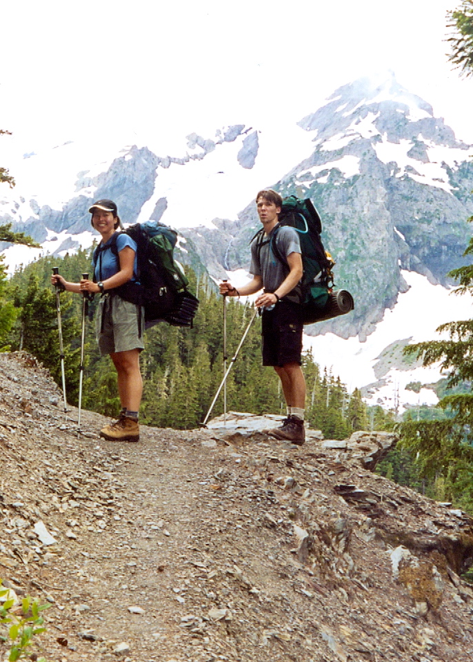
Views from well-along the approach trail (July 2003).
Nearing Glacier Meadows on day one (July 2003).
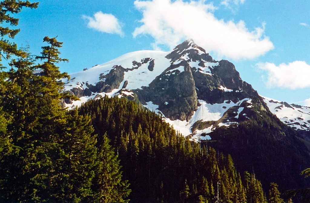
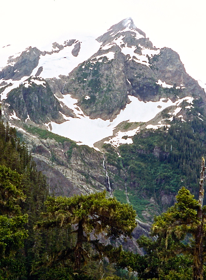
Mount Olympus and the Snow Dome as seen from the approach trail just below Glacier Meadows (July 2004).
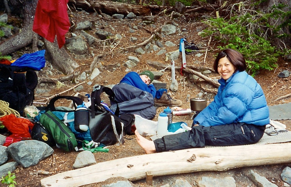
Glacier Meadows camp the evening prior to our climb (July 2003).
Blue Glacier milkiness in the morning (July 2003).
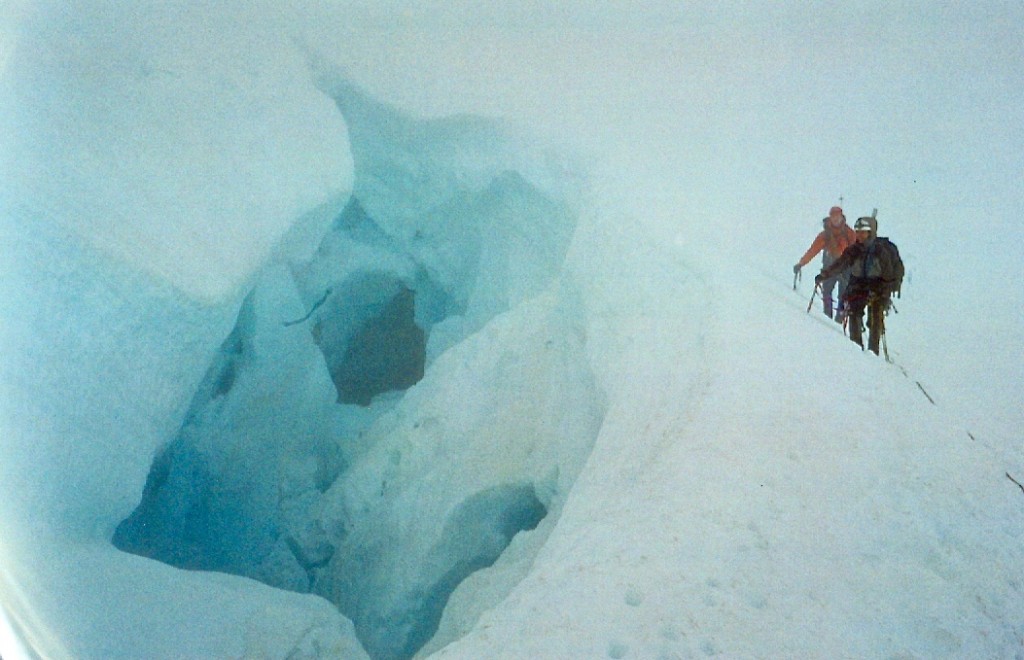
Shirley and Andrew next to a huge crevasse on the upper reaches of the Snow Dome (July 5th, 2003).

Crevasses on the upper Snow Dome (July 2003).
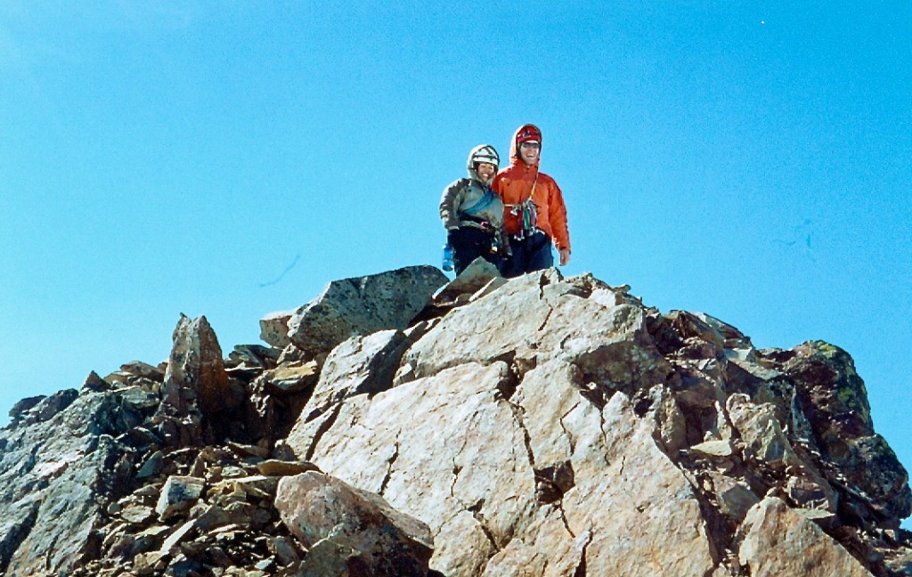
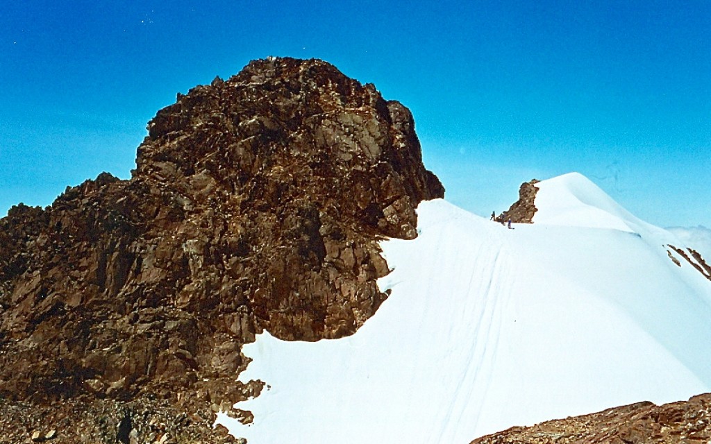
Andrew & Shirley on the false summit (with the real one in the background; July 2003).
Looking back towards the Snow Dome Glacier from below the summit scramble (July 2003).

Andrew and Shirley just below the summit (perhaps? July 2003).
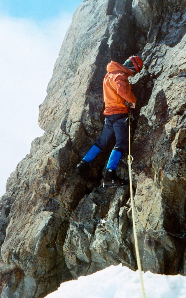
Andrew leading the short, low 5th summit pinnacle on Olympus (July 2003).
Andrew on the summit (July 2003).
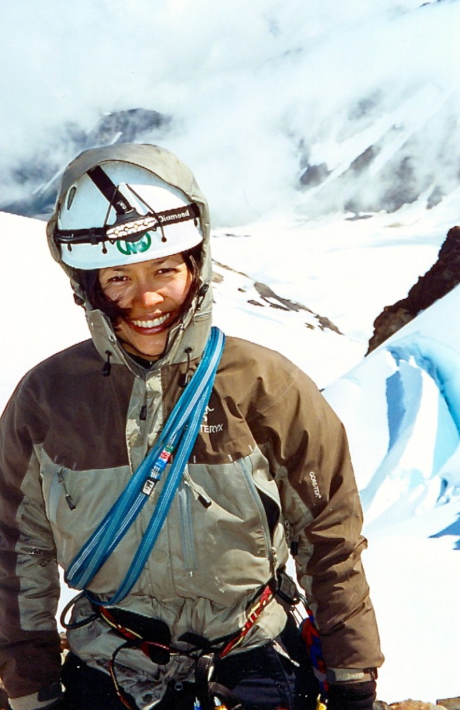
Shirley on the summit with the crevassed Snow Dome in the background (July 2003).
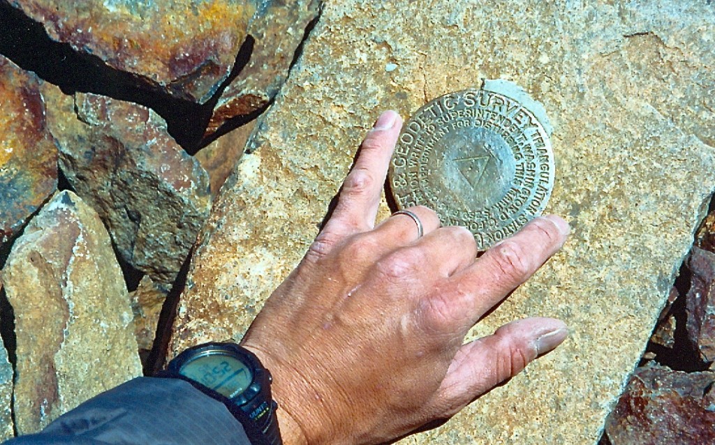
Mount Olympus summit I guess?
Summit.
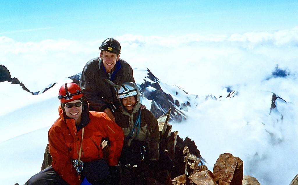
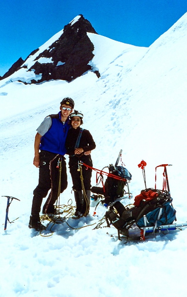
The three of us on the summit (July 2003).
West Summit of Mount Olympus and our glissade tracks (July 2003).
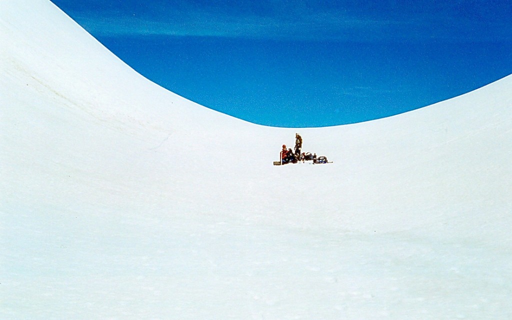
Shirley and Andrew taking the lunch break on the descent. This is the col between the false (right) and West Summits (July 5, 2003).
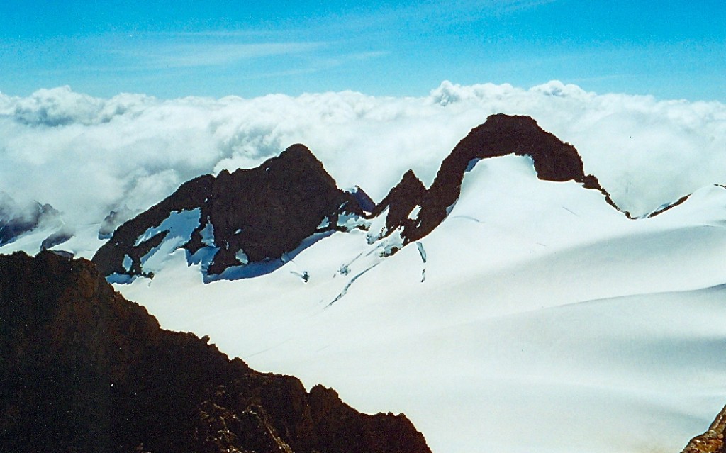
Various sub-summits of Olympus as seen from the south side of the Five Fingers formation (July 2003).
Shirley & I at the col below the Five Fingers formation on the descent (July 2003).
Hiking down (July 2003).
The ice fall on the upper Blue Glacier as seen from the ~5600 foot level (July 2003).

Shirley & Andrew hiking down the Snow Dome (July 2003).
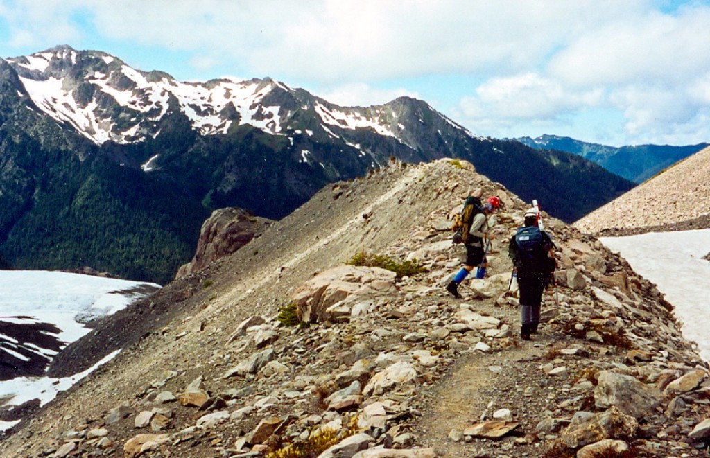
Shirley and Andrew hiking down the (Blue Glacier’s) lateral moraine (July 2003).

Mile 39, hour 39 of the Olympus fun. Shirley and Andrew resting at the Five Mile Camp. Some (it wasn’t me) put their feet down and made us all bivy just 5 miles shy of the trailhead…It was hard not to give into the idea however, especially since this outing was a gift for Andrew’s & Shirley’s shared birthdays (July 2003).
Go back to
Olympics page.